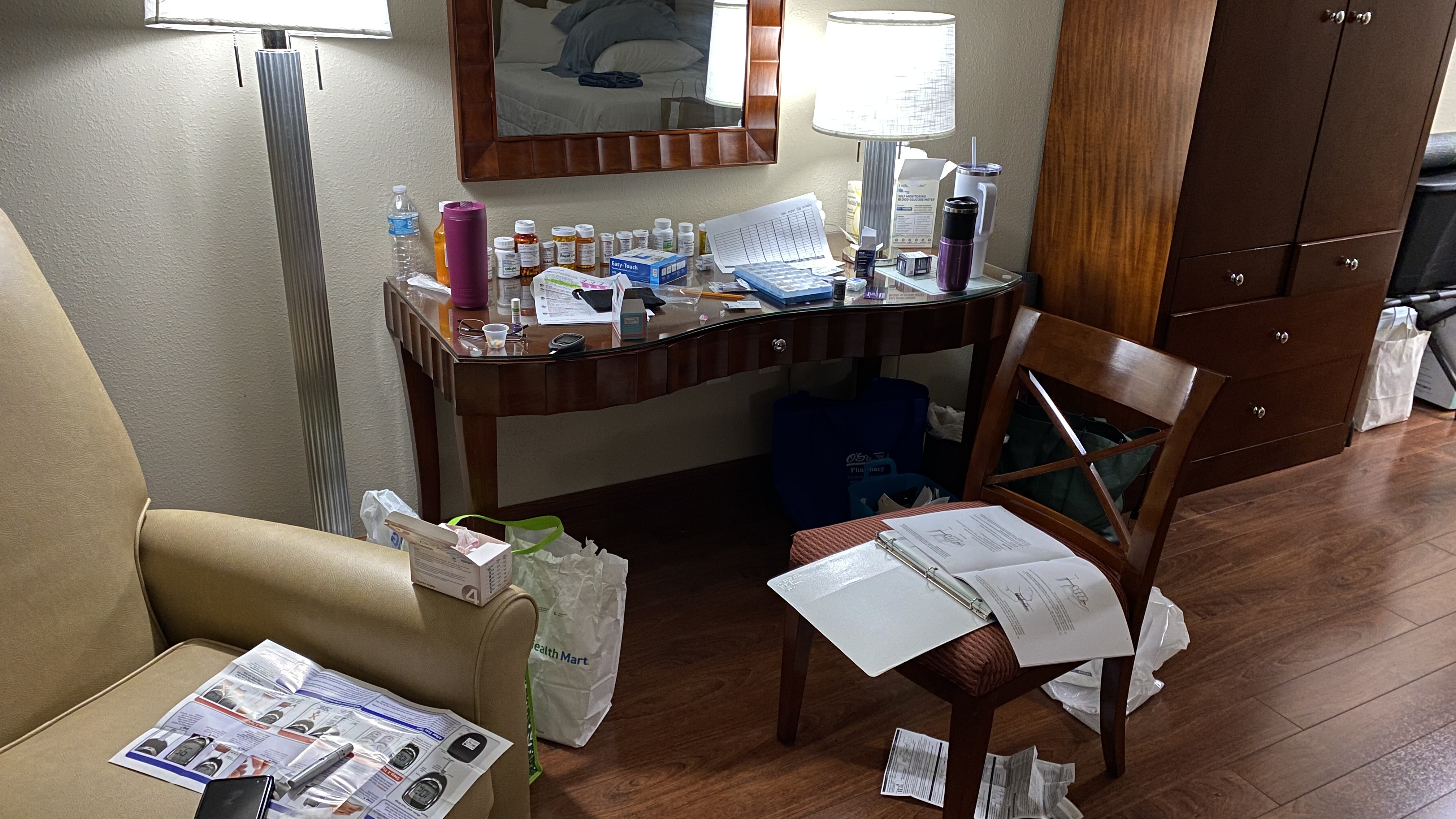
Jean got another offer last night around 11:30. We decided to wait until it was actually happening before we told anyone. I will update this post in reverse chronological order. You probably won’t be notified when it’s updated so just check back in now and then. The surgery will be at least 10 hours. I expect to be updated every few hours and will put the updates here when I get them. Thank you all for your continued support. It means the world to us.
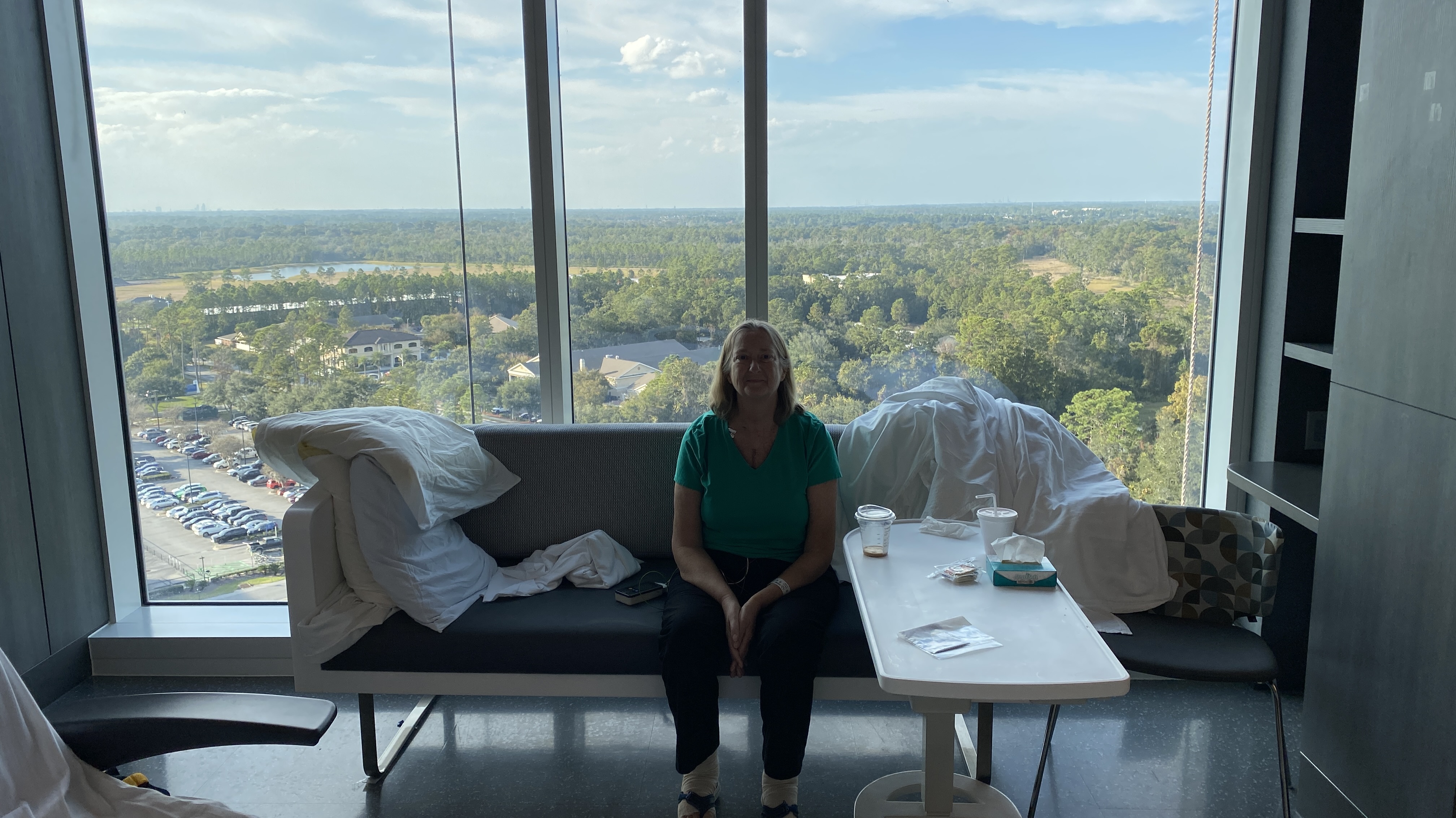
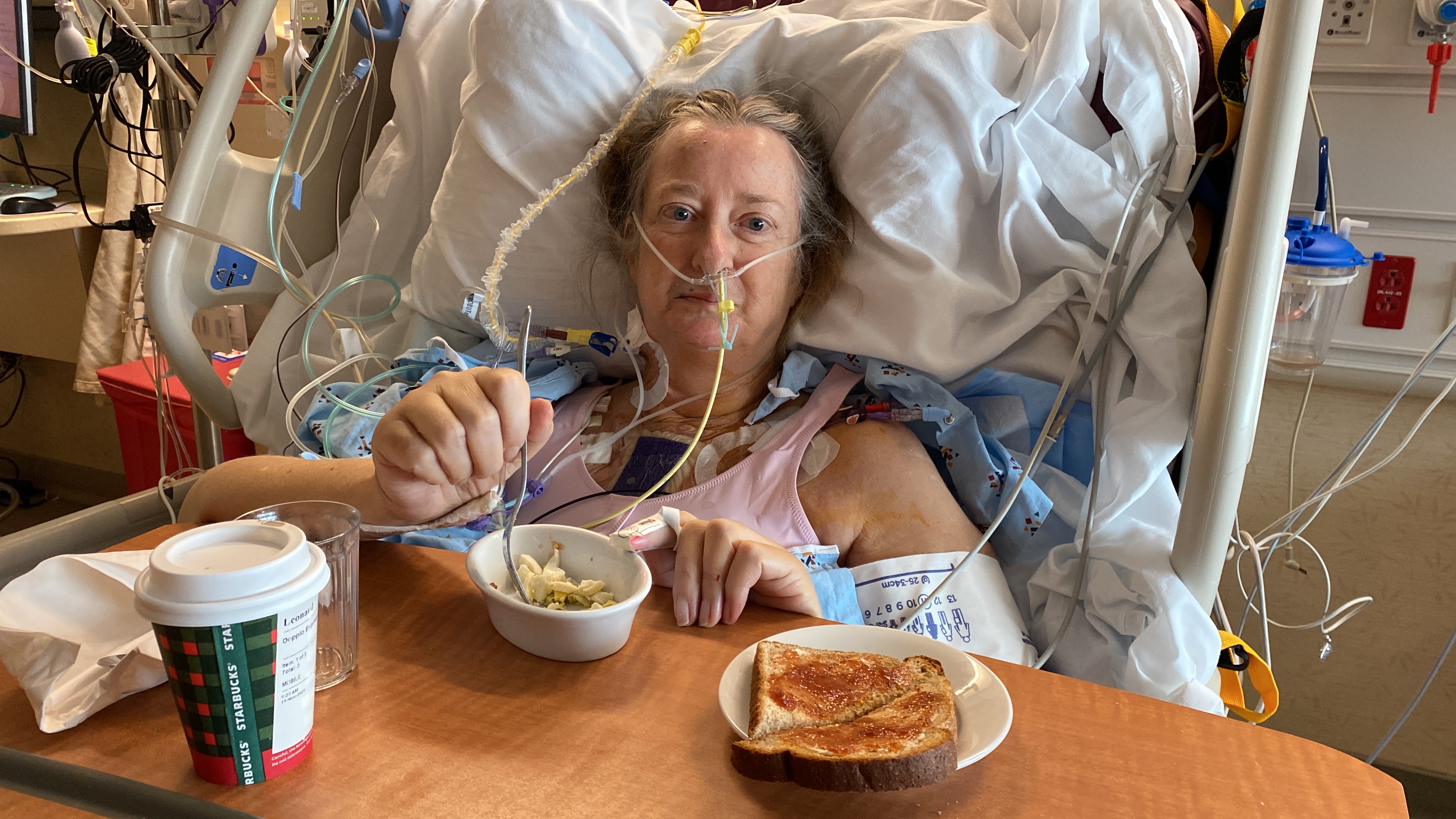
1:45 pm The breathing tube has been removed and she’s breathing on her. Most importantly, she seems to be very much herself. Though it is very painful to talk, she is responding appropriately to questions. Everything is still looking very good. Looks like they’re going to let her rest the remainder of the day. This is the last update I’ll do on this post. The next one will be from her. Thanks again for all your prayers and support.
11:20 am: I’m in the ICU with her. So far, everything is going better than expected. She got a male heart and, according to the surgeon, it is very strong. Once she starts breathing on her own, they will pull the breathing tube and have her sit up in a chair. Hopefully, that will happen in the next few hours.
1:30 am: Just spoke with the surgeon. Everything went well. Should be able to see her in the ICU in about 45 minutes.
12:40 am Mayo Clinic: “We are starting the closing process.”
11/8 12:32 am Mayo Clinic: “Her old pacemaker is out. We will let you know when we begin the closing process.”
11:29 pm Mayo Clinic: “She is off the heart bypass machine. Her new heart is doing the work for her now. We are going to remove her old pacemaker device now.”
9:01 pm Mayo Clinic: “The new heart is here and Dr. S is placing it now.”
7:58 pm Mayo Clinic: “She is on the heart bypass machine. We will let you know when the new heart gets here and Dr. S begins placing it in.”
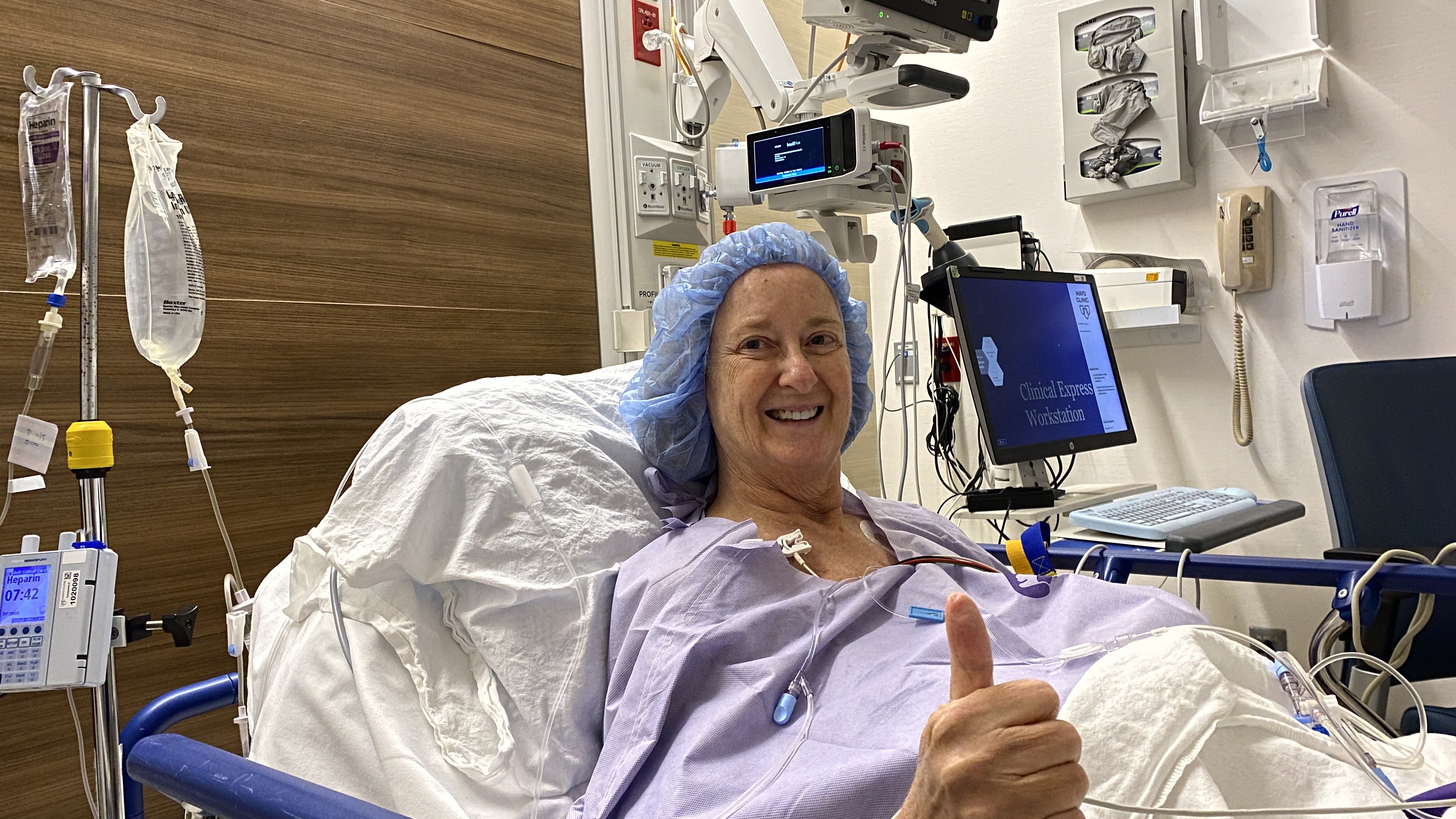
6:30 pm: Procedure started.
4:30 pm: In the Operating Room.
11/7 3:30 pm: she went to pre-op.