Category Archives: Utah 2013

The wrap up and ride home.

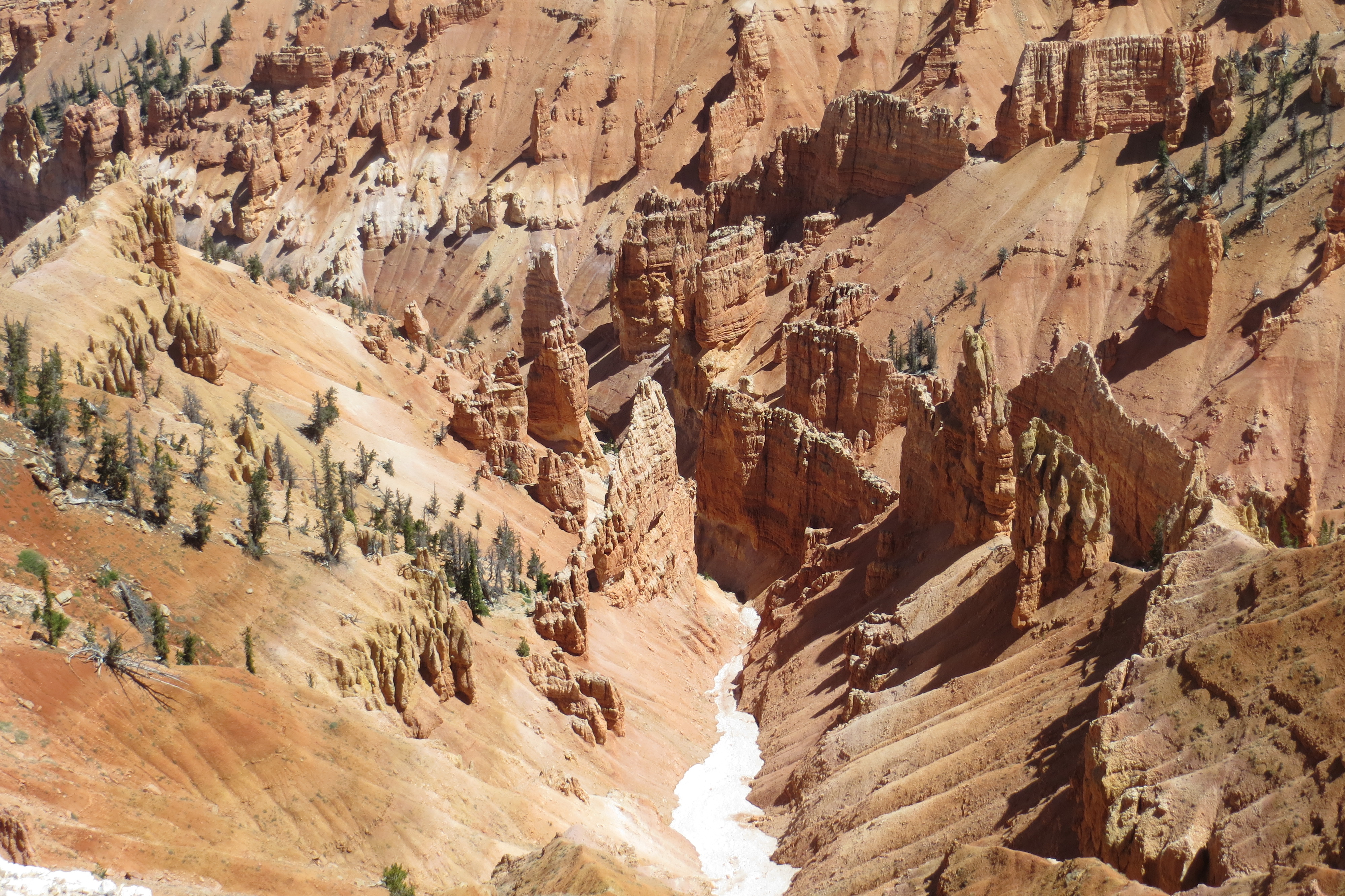
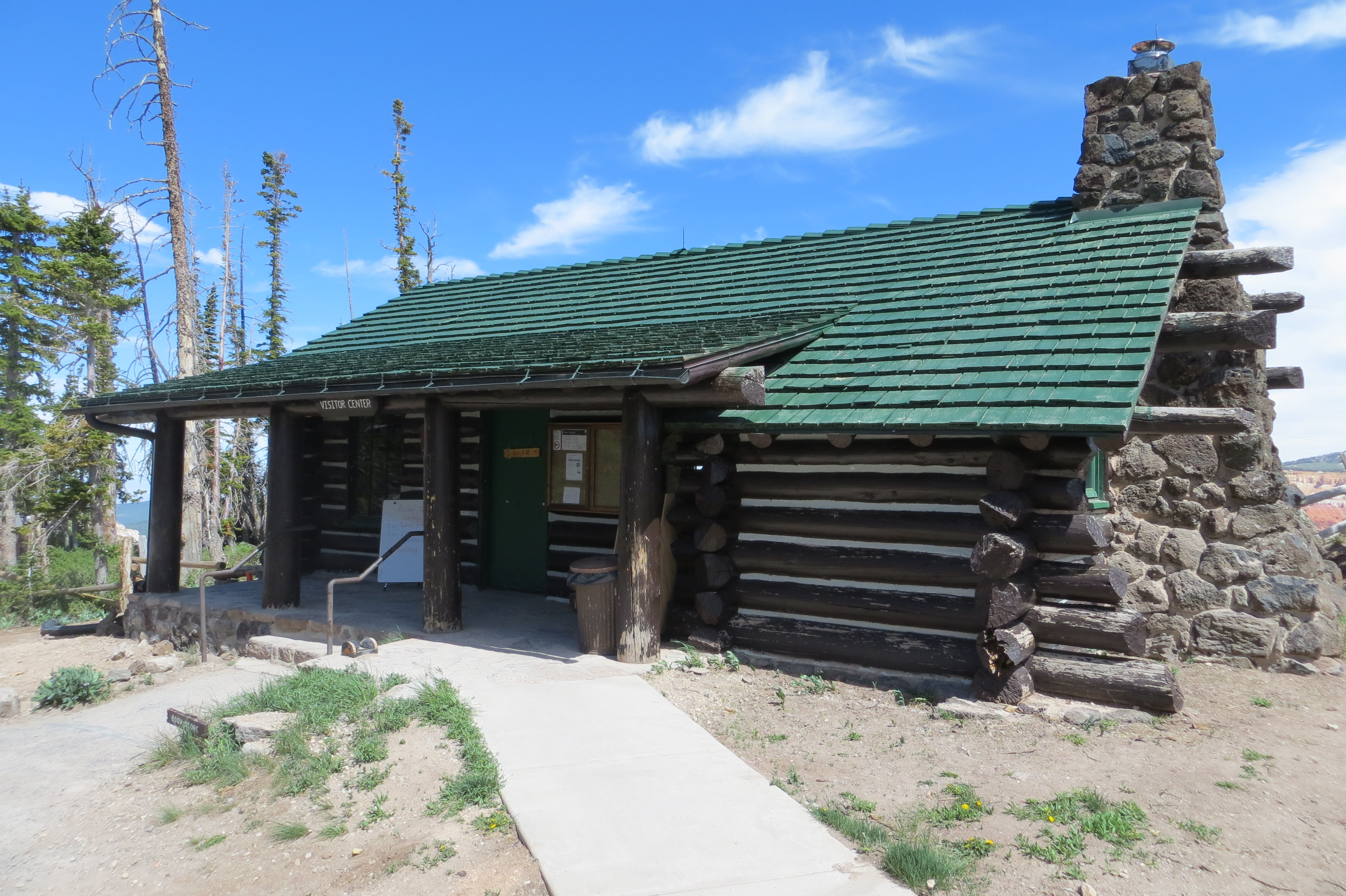
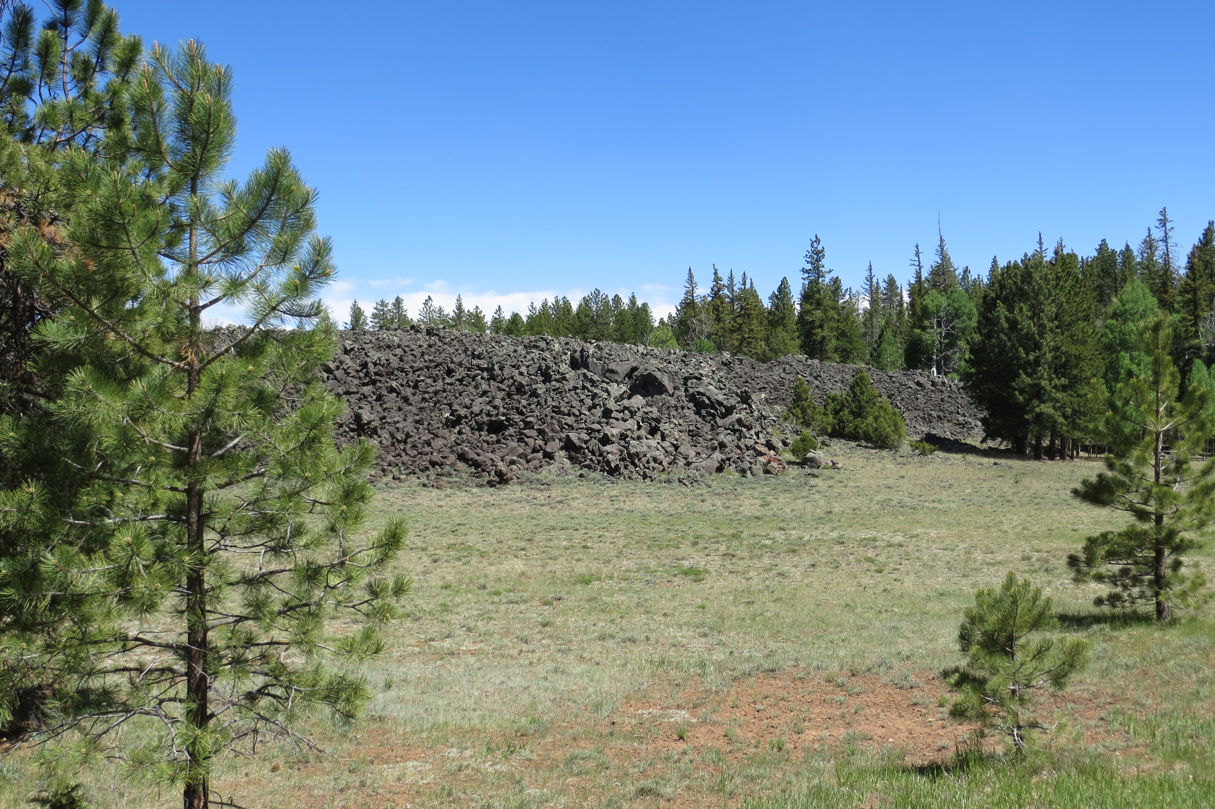
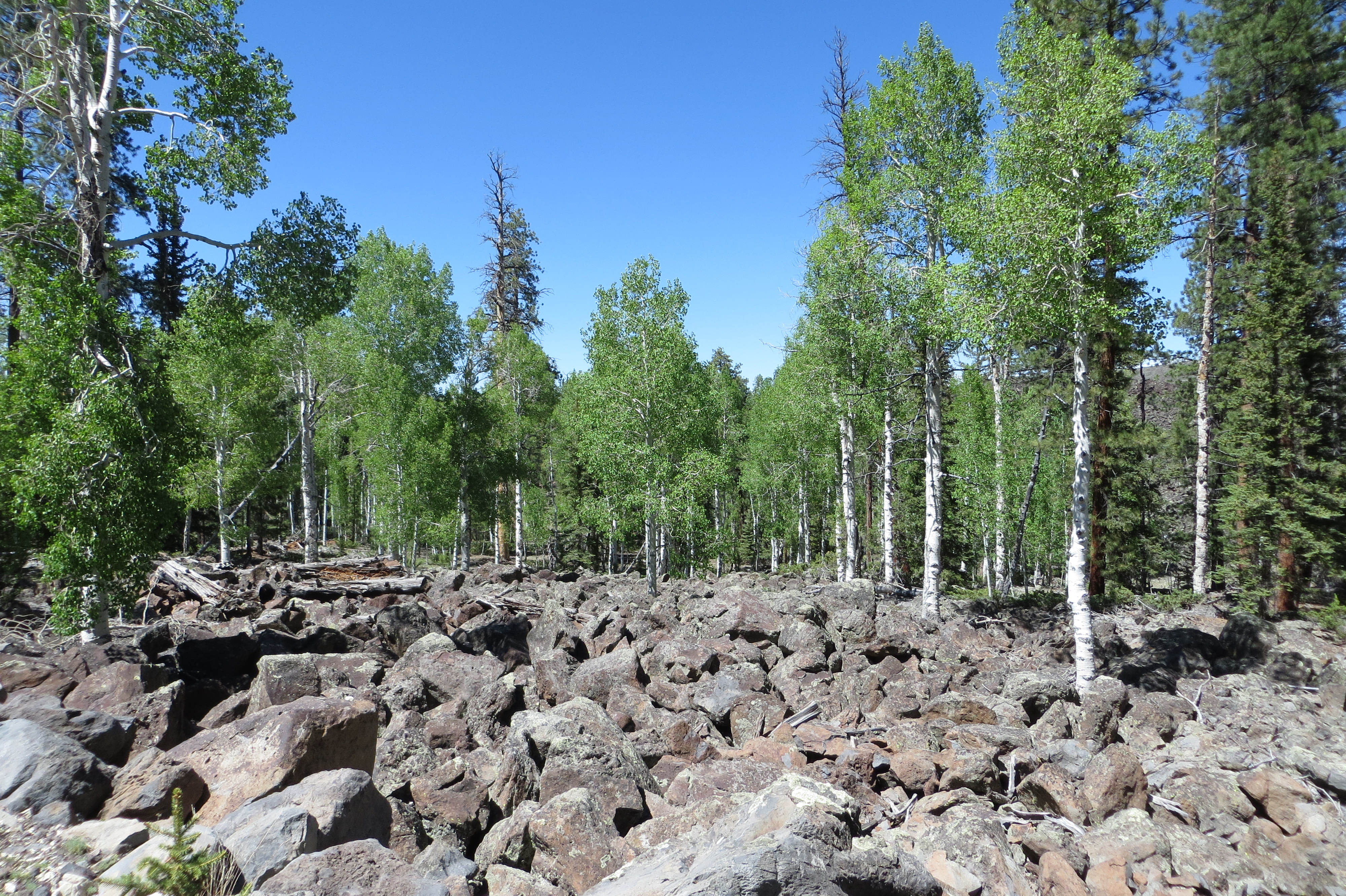
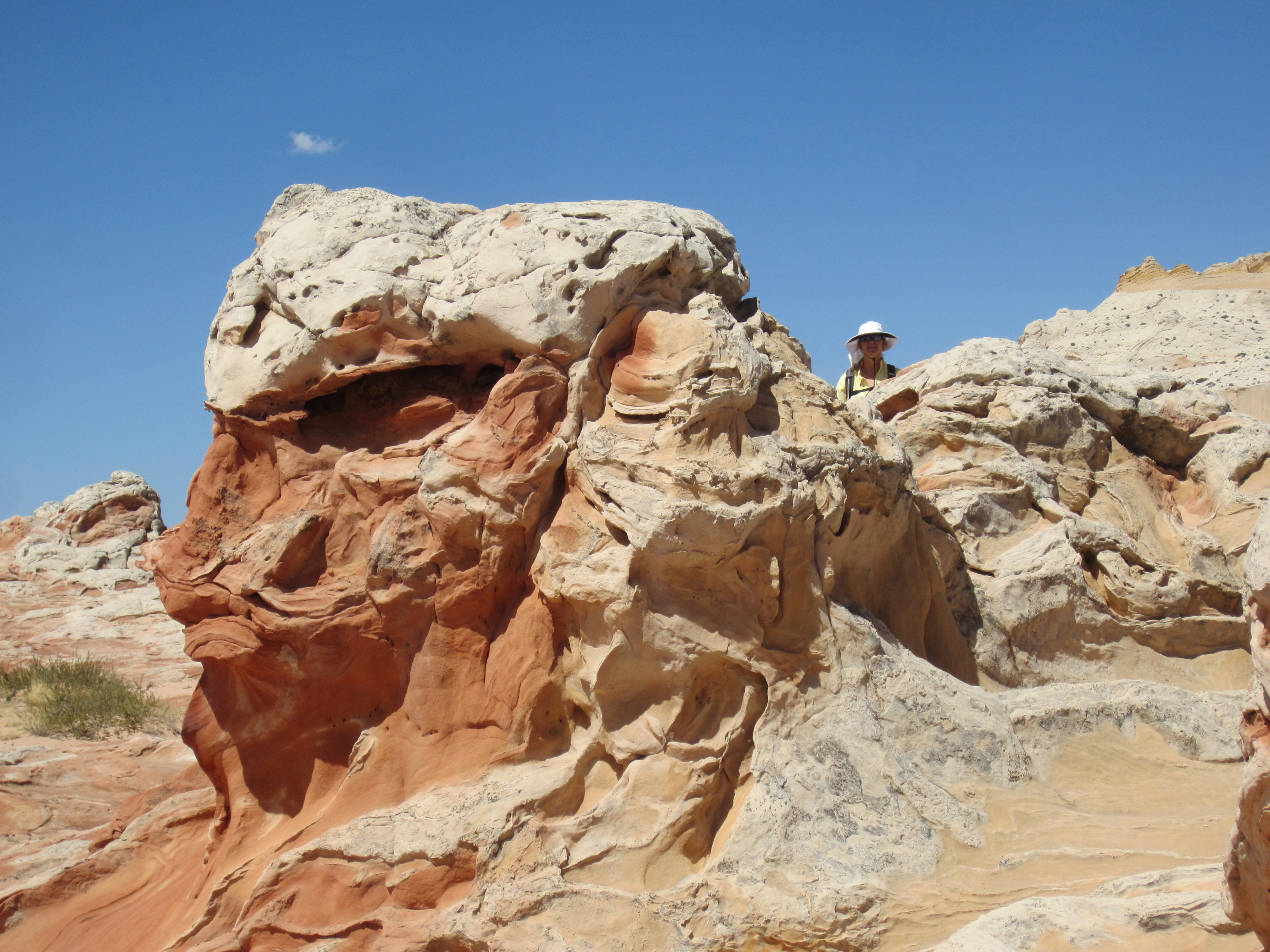
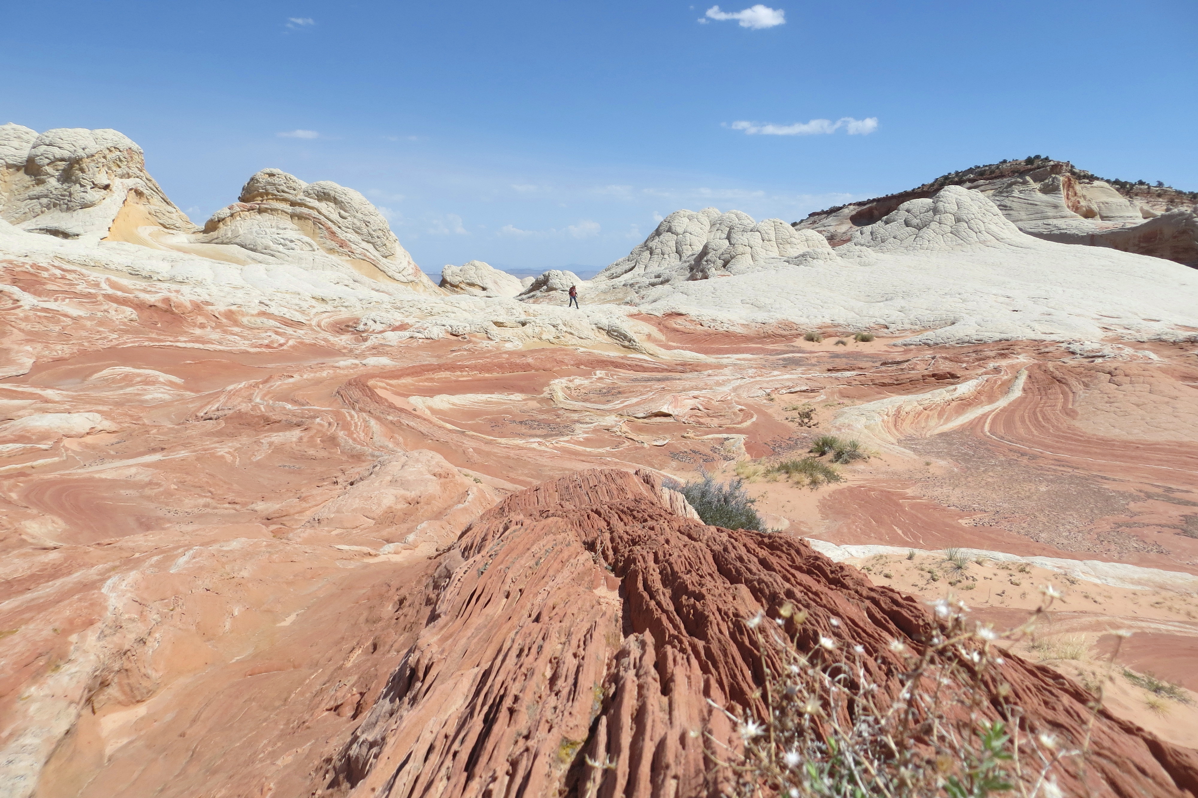
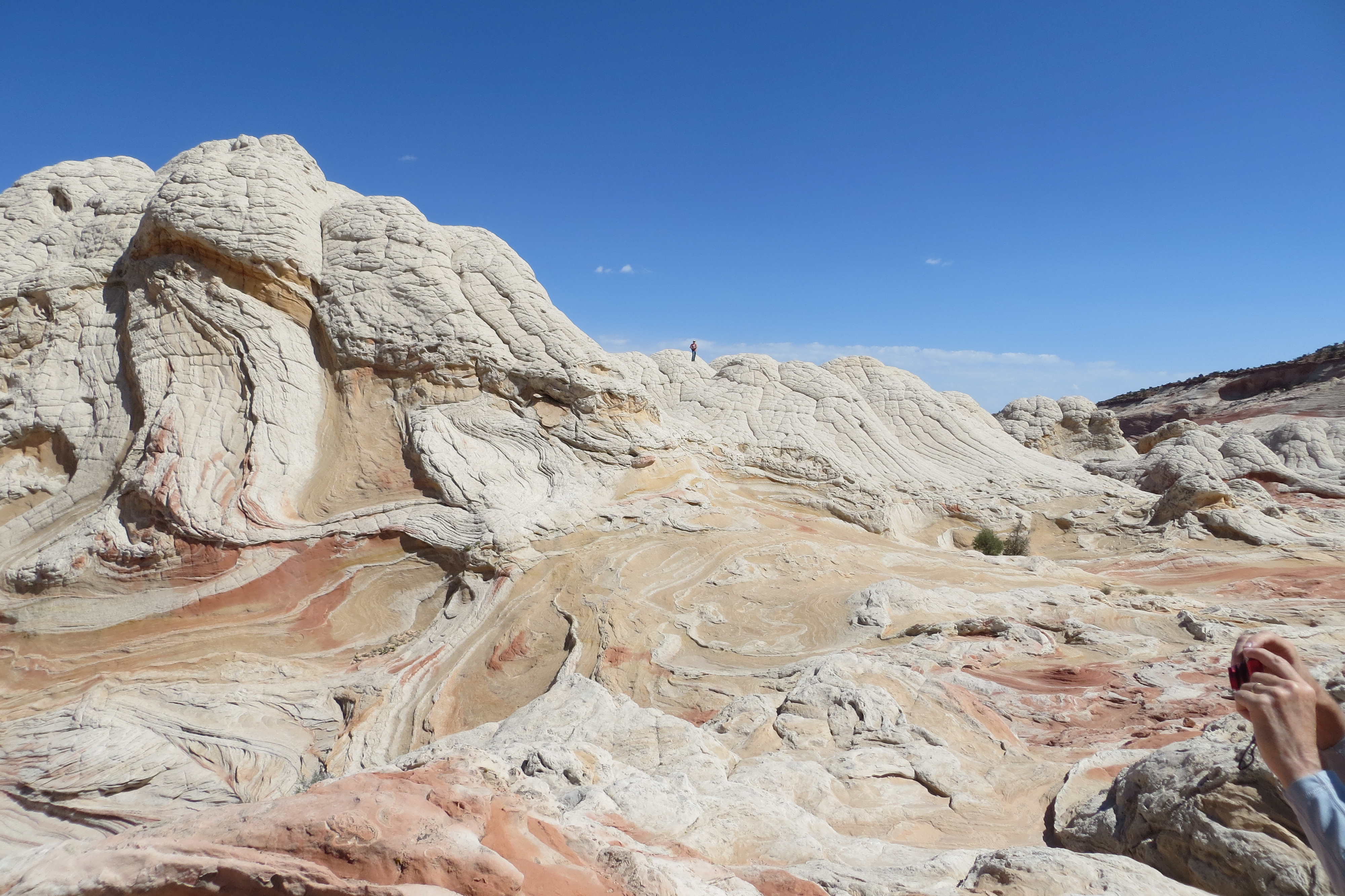
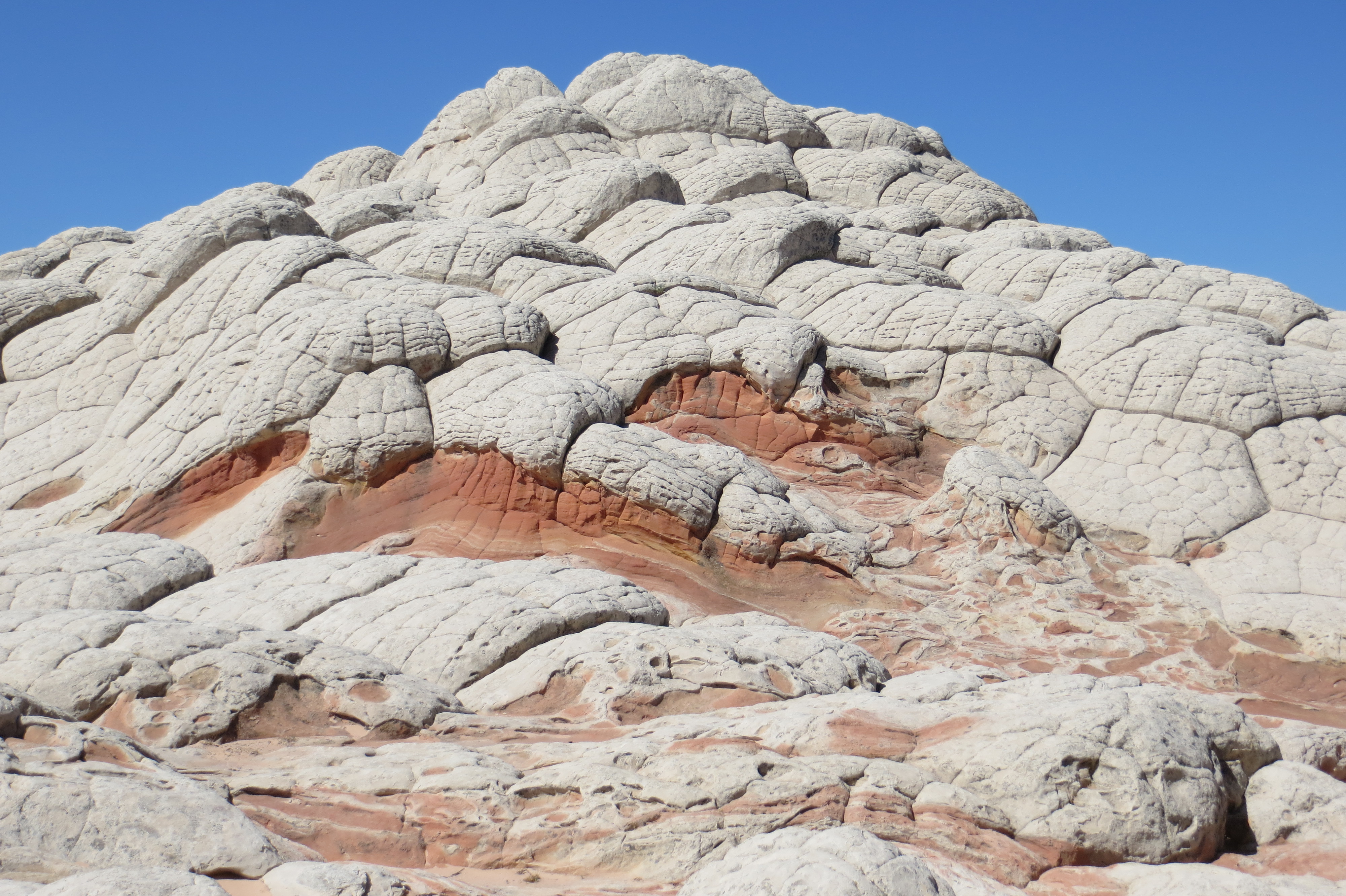
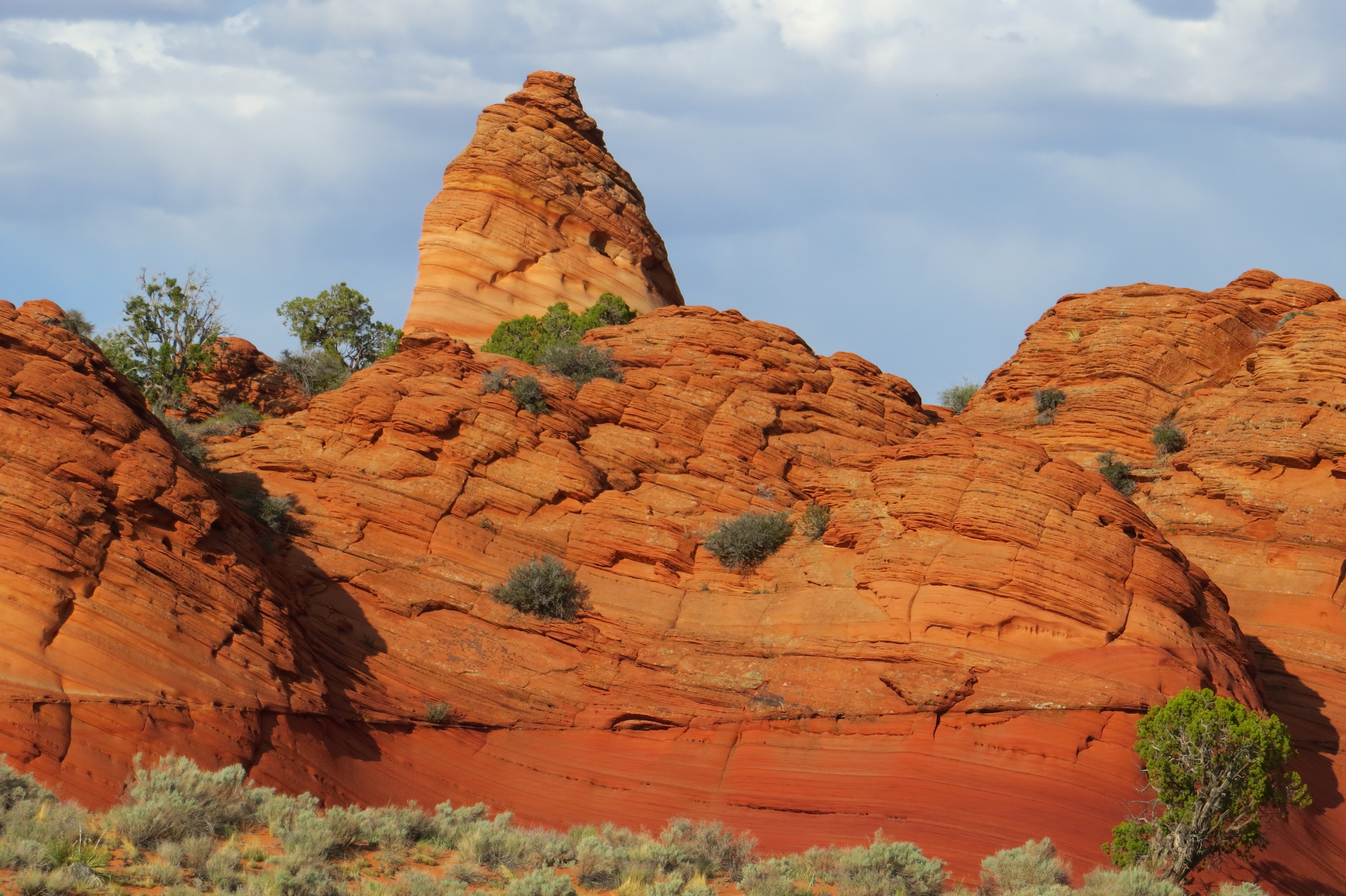
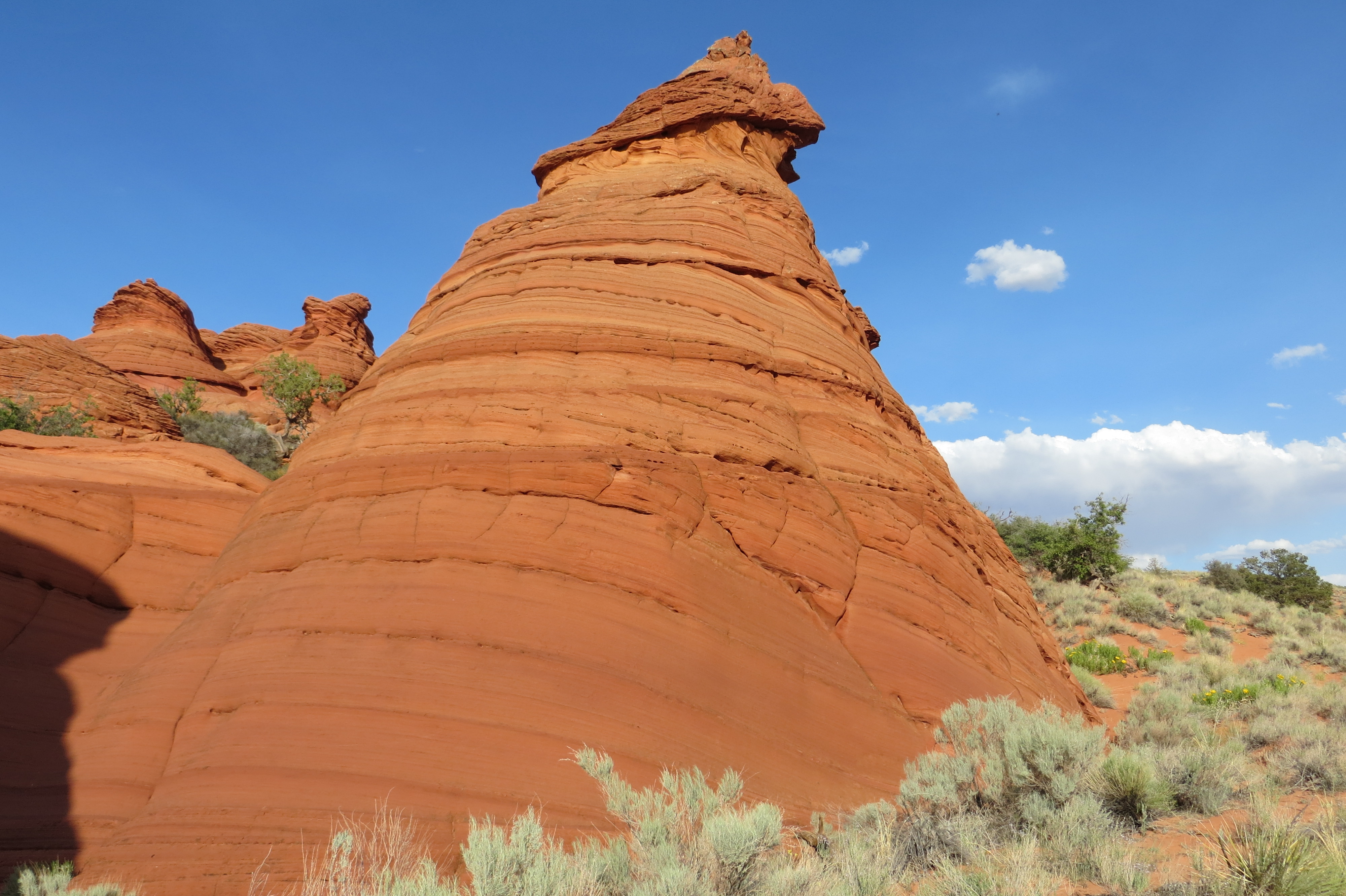
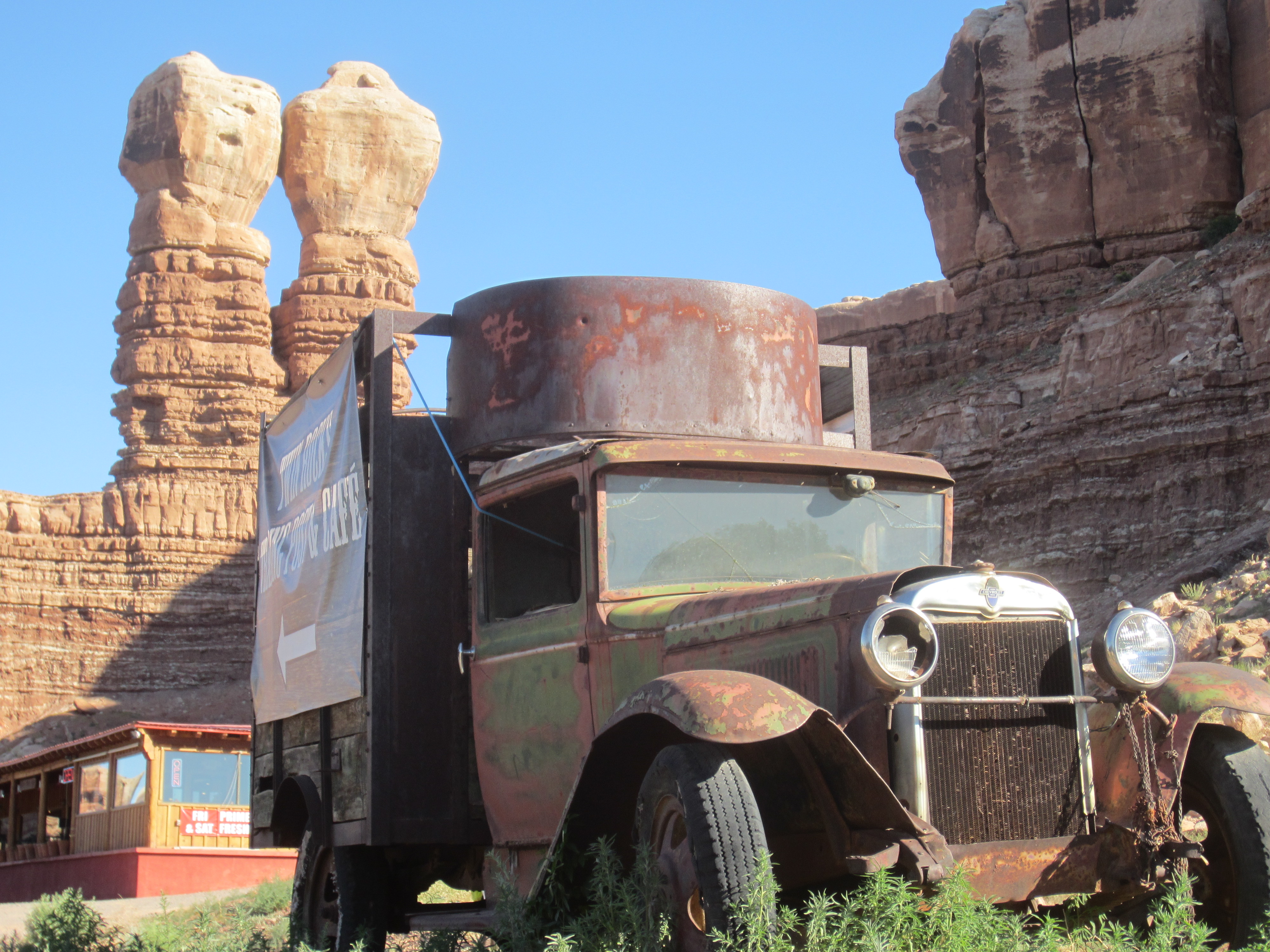
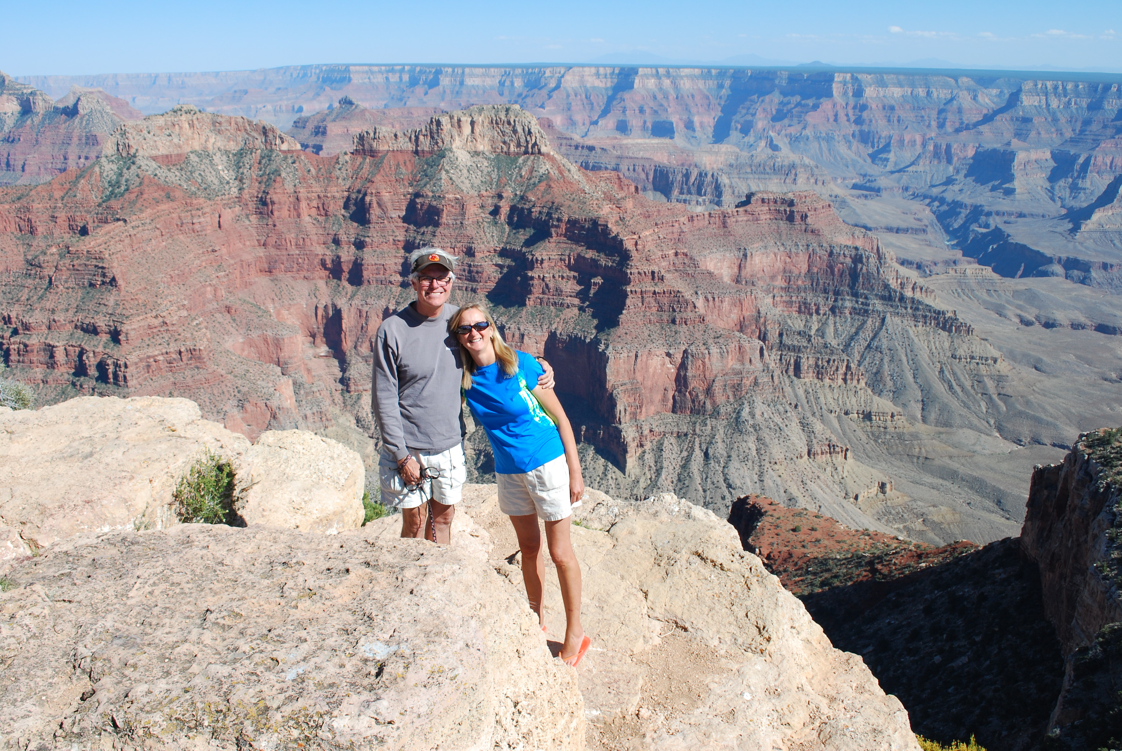
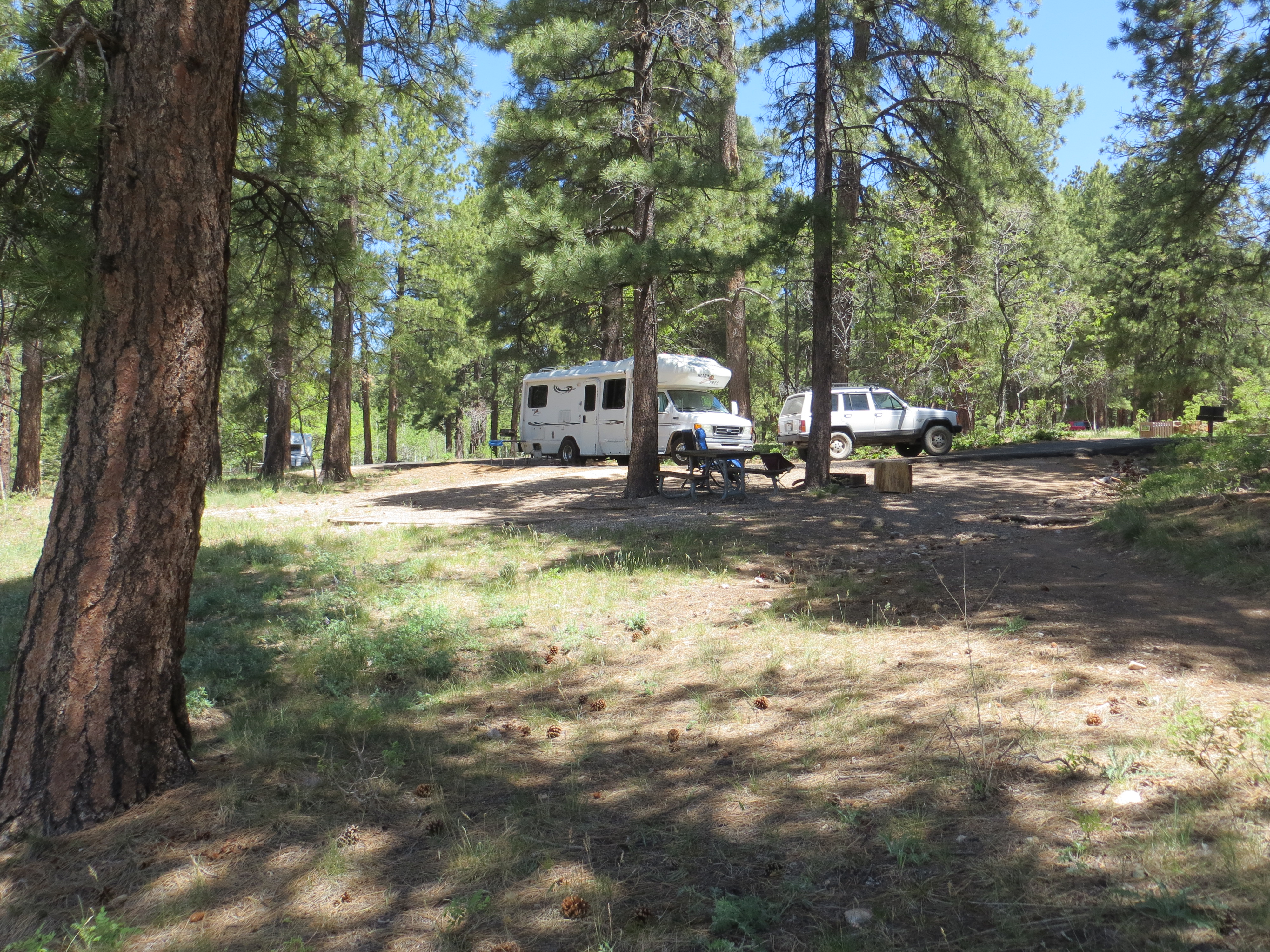
We spent 6 glorious days in the mountains of Colorado, traveling the stunning Million Dollar Highway from Ouray to Durango. We went up and down innumerable mountain passes, some as high as 12,000 ft and our little RV did a great job, even with the added chore of towing a Jeep behind her.    At the end of June it began to get hot, even in the high elevations of the Rocky Mountains and forest fires had started in various areas, so we decided it was time to head back to Florida.   It is so beautiful in those mountains and there is enough to see and do that you could easily spend an entire summer just in that region.  We met many people who do stay just in that region for the whole summer.     We will be back and for a longer stay next time.    Continue reading

Ghost towns of Ironton and Animas Forks, CO

The mountains of Colorado are peppered with old gold and silver mines, and remnants of towns or just decaying buildings can be found throughout the mountain sides.  It is astonishing how far isolated some of them are, and it’s hard to really comprehend what life must have been like for them back in the late 1800’s when these towns were thriving.   Continue reading

Yankee Boy Basin – Ouray, CO

Wildflowers at Yankee Boy Basin

Wildflowers at Yankee Boy Basin

Ahh, the mountains of Colorado.  We love it here.  We settled in an RV park in  the old mining town of Ouray and then set out to explore some of the surrounding sights.  The 4 wheel road past an old mine to Yankee Boy Basin at 12, 400 ft was first on our list.   It is a gorgeous ride and some video can be seen here and here. Continue reading

Capital Reef National Park

Scenic Byway 12 to Capital Reef

Scenic Byway 12 to Capital Reef

We found a gem of a little RV park called Wonderland RV Park here in Torrey, Utah just outside of Capital Reef.    It actually has lots of green grass, something we have seen very little of since we’ve arrived in southern Utah.   I had no

Driving on the top of a ridge with steep drop offs on both sides

Driving on the top of a ridge with steep drop offs on both sides

idea this part of the country was so windy, it comes up almost every afternoon and as a result there is blowing dust everywhere, so the green grass was a welcome sight.    Continue reading

Peek-a-boo and Spooky Slot Canyons

The rock entrance into Peek-a-Boo Slot

The rock entrance into Peek-a-Boo Slot

Peek-a-Boo and Spooky Slot Canyons were something we had been anticipating since we arrived in Utah.  They are located in Coyote Gulch  about 26 miles down Hole-in-the-Rock Road in Grand Staircase-Escalante National Monument. Continue reading

Kodachrome Basin State Park & Cottonwood Canyon Road

Kodachrome Basin State Park Campground

Kodachrome Basin State Park Campground

Kodachrome Basin State Park was our next stop on Scenic Byway 12 going north from Bryce Canyon.   It was a beautiful State Park located about 9 miles off Hwy 12 at the north end of Cottonwood Canyon Road in the Grand Staircase-Escalante National Monument.   The park is almost completely surrounded by high red, white and pink sandstone walls and contains almost 70 monolithic spires inside or just near the park.    Continue reading

Bryce Canyon National Park

Bryce Canyon Amphitheater

Bryce Canyon Amphitheater

We’ve spent the last 2 days at here at Bryce Canyon, at 8,000 ft it is a lovely respite from the heat that is starting to permeate the lower elevations of southern Utah.    This high elevation also gives us a clear phone signal and internet, so we have been trying to get caught up on postings.     Continue reading

Red Canyon – Dixie National Forest

Red Canyon Campground in the Dixie National Forest

Red Canyon Campground in the Dixie National Forest

Red Canyon hiking

Red Canyon hiking

IMG_1423

Laia leads the way

IMG_1694

Jean and Laia's version of Angel's Landing

Jean and Laia’s version of Angel’s Landing

A trail above our campground

A trail above our campground

Minature arch - only 8 inches high!

Miniature arch – only 8 inches high!

Our home after Zion was the Red Canyon Campground in the Dixie National Forest.   This was a great National Forest campground with water, flush toilets and hot showers.   The sites were large, with tall pine trees providing shade, stupendous views and all for the low price of only $15 night.  Hard to beat.   

There are numerous dog friendly hiking trails all near the campground and the Red Canyon Visitor Center, as well as  a long bicycle trail that ran parallel with the road. It would be a great place to ride, with scenery similar to Bryce Canyon, and we saw many organizations like Backroads providing support for vanloads of bikers.

Cedar Breaks National Monument

Cedar Breaks National Monument

Cedar Breaks National Monument

IMG_1392

Down into the bottom of the canyon

Cedar Breaks National Monument is a relatively small park that packs a big punch.  After the extreme heat of Zion we went for a drive up (way up) to Cedar Breaks where we began to see snow and the elevation was over 10,000 ft.   The park has erosion similar to Bryce  but you view it only from a distance or from the rim, you cannot walk into it.

Along the way we saw the most amazing thing, fields of black lava with

Hang on to your hat weather!

Hang on to your hat weather!

Very cool CCC (Civilian Concervation Corps from the 1930's) cabin Visitor Center

A very cool CCC (Civilian Conservation Corps) cabin from the 1930’s.  Now it’s the Visitor Center

Fields of black lava

Fields of black lava that look as if they have been plowed

Aspen growing amongst the huge lava boulders

Aspen growing amongst the huge lava boulders

aspen and pine growing in between the rocks.   Apparently these lava beds are less than 2000 years old and are not from a central volcano but welled up from cracks in the earth’s surface.  There are also underground lava tubes in the area.  It was such a surprise to see it and the area must be particularly beautiful in the fall when the aspen leaves turn golden.

Zion National Park

IMG_1351Our 4 days at Watchman Campground in Zion National Park have flown by.  We had a site right on the Virgin River which was fortunate since the temps have risen sharply since we’ve been here and it gets to 102 F during the day.   The Virgin is shallow, fast flowing, in the 60’s and is fun to float down during the heat of the day.

Sunrise hits these peaks first

IMG_1353We’ve spent the majority of our time hiking in the early morning or late evening,  although we were dead in the water one day with Jeep issues.  Poor thing, it finally got worn out and thankfully it did it on a paved road close to a town.  A good Samaritan came by (another Jeep owner of course) and took Leonard back to the RV, so we could come out and tow the Jeep back home.   We got the necessary parts the next morning, which Leonard was able to repair himself and we’re off and running again.   Leonard says “I guess all that paying it forward stuff really works”.  It has for us.  We’ve been so fortunate.

Leonard did the famous Angel’s Landing hike yesterday.  There was no way I could do that so I went out and took photos.   It looks awesome for those of you so inclined.

The last .6 mile of the Angels Landing Hike involves walking across this peak

The last .6 mile of the Angels Landing Hike involves walking across this peak

There's a chain to hang on to but alot of people chicken out and don't do the last part

There’s a chain to hang on to but a lot of people chicken out and don’t do the last part

The view down to the road below

The view down to the road below

The view of Angel's Landing from the bottom looking up.  I could see people walking along that ridge on the top

The view of Angel’s Landing from the bottom looking up. I could see people walking along that ridge on the top

White Pocket – Vermillion Cliffs National Monument

White Pocket

White Pocket

Our second foray into the wilderness was to investigate an area known as White Pocket.   Excursions to this particular region come with dire warnings about the severity of the landscape and the extremely deep sand.  We knew this prior to coming and bought extra gear, including tire deflators, inflators, 5 gallon water containers, shovels and something known as sand rails that we could put under the tires if we got stuck in the sand.

IMG_1587_1We set off early in the morning, armed with a topo map on Leonard’s phone and a GPS track that someone else had uploaded to the internet.   Then we started to encounter the thick sand that had been written about.   After all my planning, I started to have second thoughts.  Were we in over our heads?    I actually thought maybe we should turn around, but Leonard and our friend Mike had cooler heads and wanted to give it a go.

Leonard did a superb job with driving, we didn’t come close to getting stuck and went straight to our destination.  Wow, was it worth it.  One on the most incredible places I’ve ever been.

IMG_1606

This one looked like a Ram’s head

IMG_1281_1 IMG_1273 IMG_1270 IMG_1268 IMG_1289

IMG_1291

Paw Holes – Vermillion Cliffs National Monument

After the cool, green of the North Rim we made a rapid descent of 3000 ft. down to the desert-scape of the Vermillion Cliffs National Monument.   We drove down the BLM road that we were looking for and found a camping spot to settle into and plan our next move.

Our purpose for coming here was to investigate some beautiful areas in this remote region, that are only accessible via 4 wheel drive and the gear to get out of the deep sand,  if necessary.

Poverty Ranch

Poverty Ranch

The first region we explored was called Paw Holes, which is part of Coyote Butte South in the Vermillion Cliffs Nat. Monument.    Along the way we passed an abandoned ranch, known as Poverty Ranch,  which was fun to explore.

Abandoned panel truck at Poverty Ranch

Abandoned panel truck at Poverty Ranch

The red rocks of Paw Holes were gorgeous.    It was quite an adrenaline inducing ride in and when we got there we discovered we were not alone.  A family of Germans with 3 young children had hiked in several miles from the opposite direction.  Wow!

IMG_1238IMG_1245IMG_1249IMG_1253IMG_1255IMG_1256IMG_1257

Bits and Bobs

Laundry Day

Laundry Day

Old Car

Abandoned Buick, Bluff Utah

Polygamy Porter

Only in Utah!

Old Truck

Chevy truck in front of Twin Rocks Cafe, Bluff Utah

John Wayne TP

Hang on, Pilgrim!

Static Laia

Laia electrified

North Rim of the Grand Canyon

Point Sublime

Point Sublime

Ahh, lovely cool pine-scented mountain air and bright green leaves of the aspen trees.    After all the hot, dry blowing sand, this was paradise.   We have been at the campground of the North Rim of the Grand Canyon for 4 nights.   Situated on the canyon rim at 8500 ft,  our phones and internet were finally working.

Our campsite with views into the canyon just beyond

Our campsite with views into the canyon just beyond

We thought perhaps we would see snow when we got up here, as we are early in the season.  This campground doesn’t open until mid-May, but the snow is all gone and the weather has been absolutely perfect with sunny blue skies and  high’s in the mid 70’s and low’s in the mid 30’s.    Perfect campfire, hiking and sleeping weather.

Bright Angel Point

Bright Angel Point

We’ve spent the past 4 days hiking and going on drives to various scenic overlooks all along the North Rim.   One in particular, involved going on 4 wheel drive road 17.5 miles to Point Sublime, which totally lived up to its name.   It is the narrowest point of the canyon with only 4 miles over to the South Rim and a short video can be seen here.

Point Sublime

Point Sublime

A face only a mother could love!

A face only a mother could love!

We enjoyed a fine dinner in the lodge last night with a window view table of sunset over the canyon.  Now we move on, to BLM land and more sun and sand.

Family photo

Family photo

Lake Powell Boating

We decided to rent a boat and see just a fraction of what beautiful Lake Powell has to offer.   The boat was rented from Antelope Point Marina.  The 26 ft. , 150 horse-power, deck boat headed up into Navajo arm following this course.  It was sunny, warm (about 85), with a bit of a breeze out of the southwest when we got underway.  The forecast called for a 30 percent chance of thunderstorms.

big wall big sky

It was quite fun poking the boat up into the slot canyons.

slot2 LPslot3 LP

We stopped at a sandy beach for a swim and gave Red Paws a much needed bath.

slot4 laia LP

On the way back the clouds started to build and soon we ran into spotty showers. Those were NOT Florida rain drops.  They were COLD.  Luckily, we missed most of the rain.

What's around the next bend?

What’s around the next bend?