Canyonlands Outpost
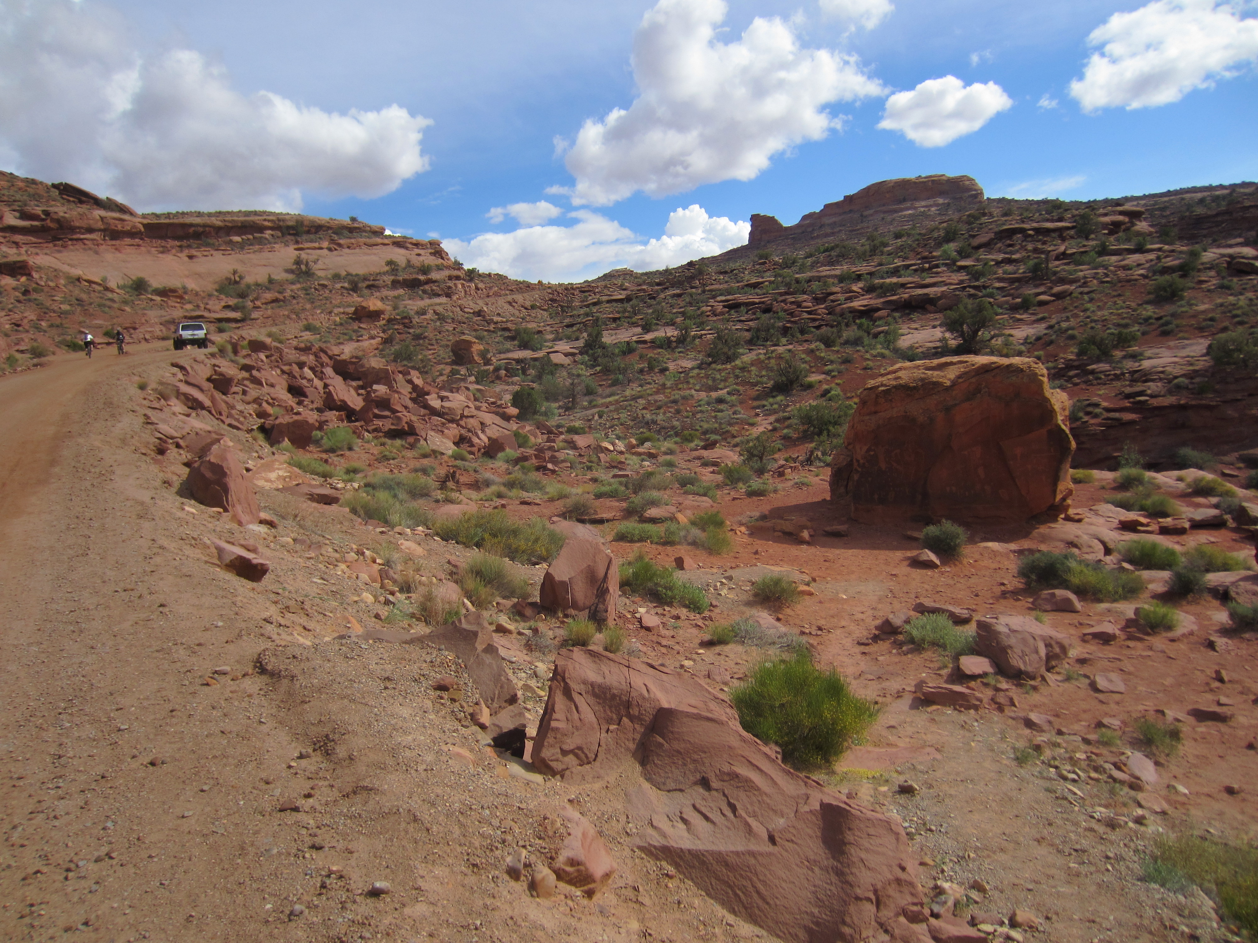
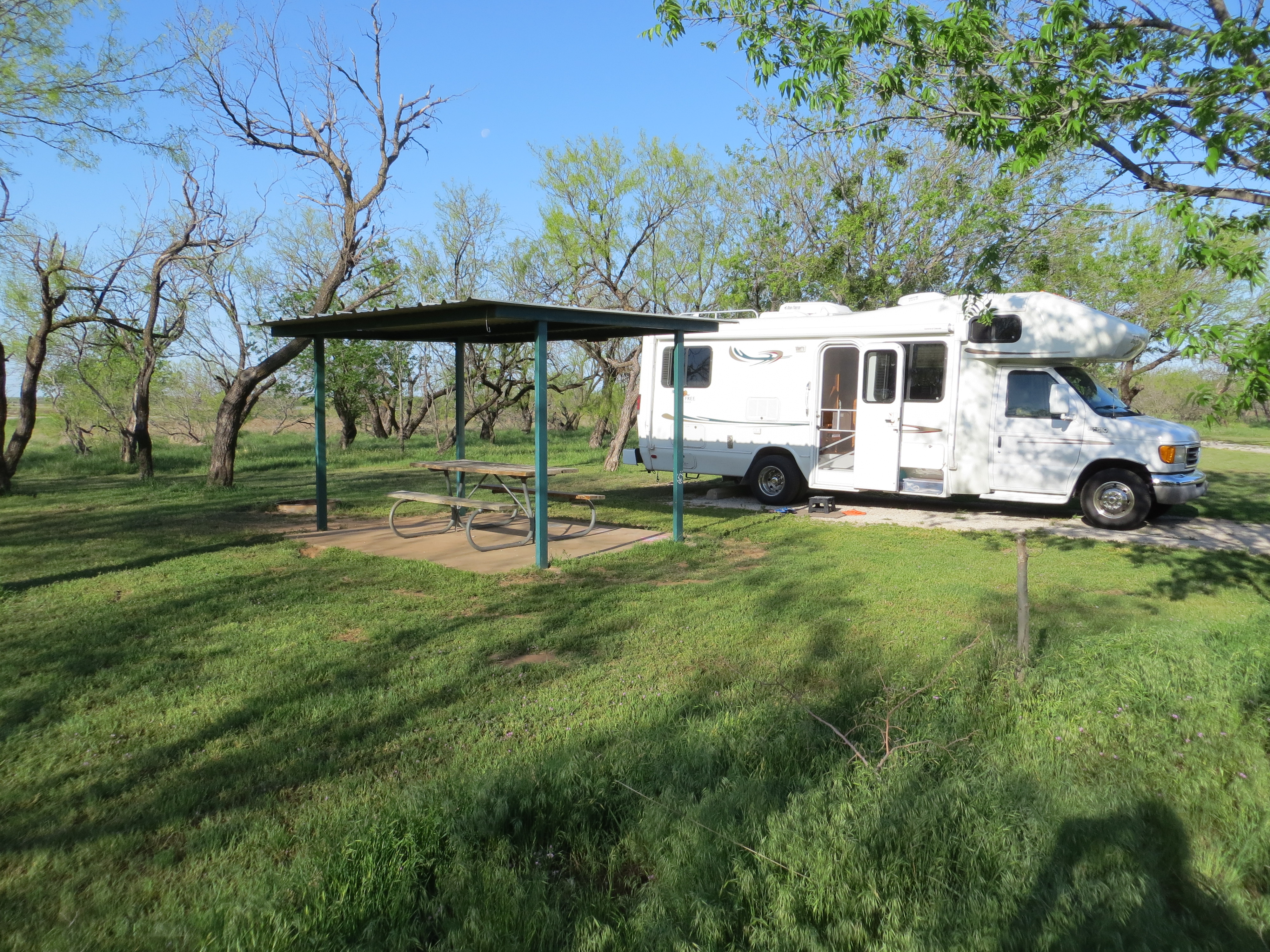
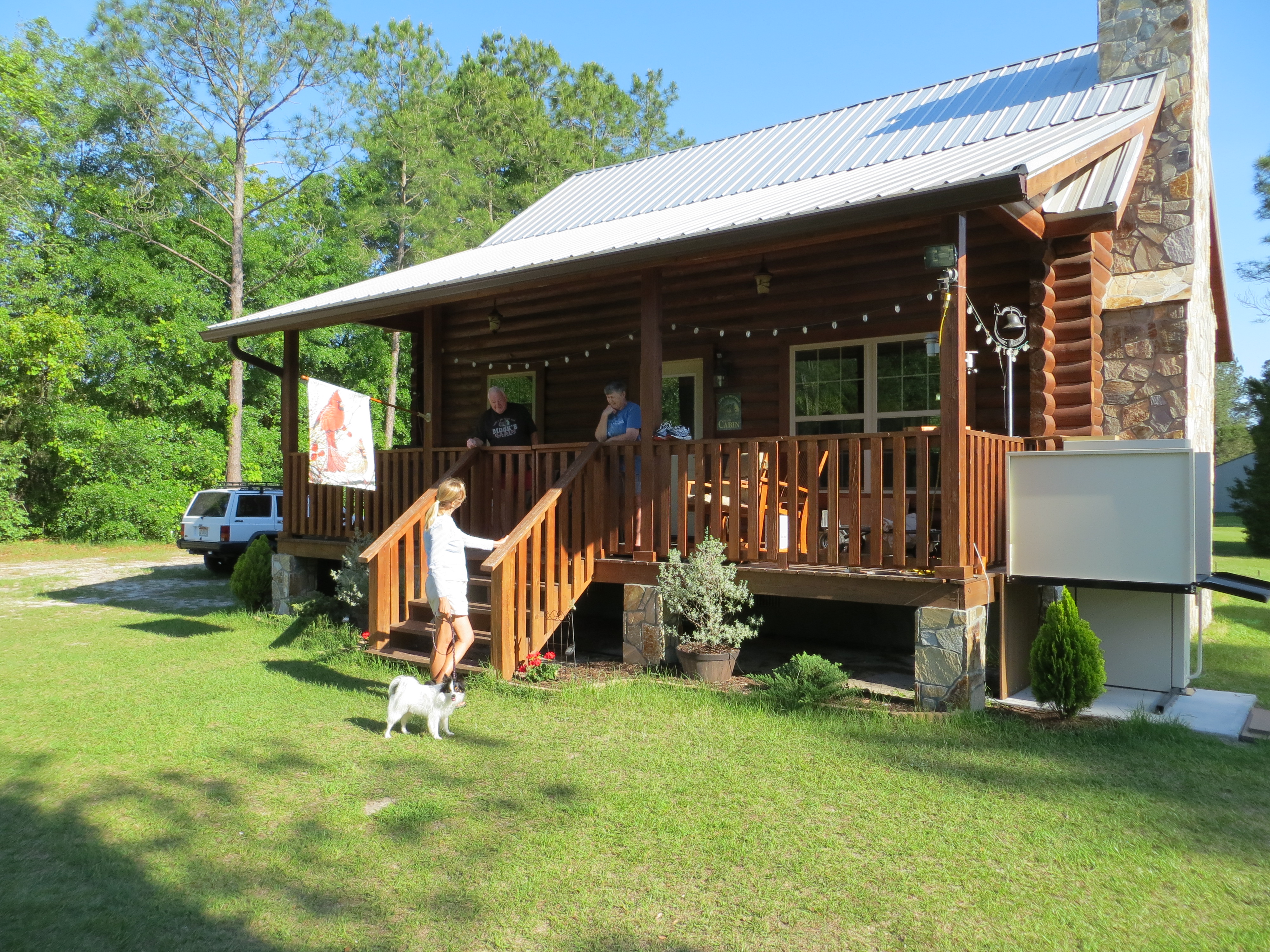
We’ve just arrived back in civilization after spending the last 3 days up in the backcountry of the Needles section of Canyonlands National Park. We left Moab early in the morning with intentions of getting into Squaw Flats campground, which is the first come, first served campground run by the NPS. Although we arrived by 930am, alas it was not early enough, people were circling the campground in desperation looking for vacating campers. Apparently in the high season, if you’re not there by 7 am staking your claim, you’re out of luck. Fortunately there is a private campground called Canyonlands Outpost that is just outside NP boundary and is still in the very remote backcountry and we were able to get a spot there. Staying in the backcountry and off the grid seems to be a particular favorite of Europeans as we were often the only Americans at the Outpost. There are lots and lots of Germans, Scandinavians, Dutch, etc. renting small Class C motorhomes, campervans or just rental cars and tents. They love the Southwest and arrive armed with maps, a lot of research and the desire to see as much as possible.
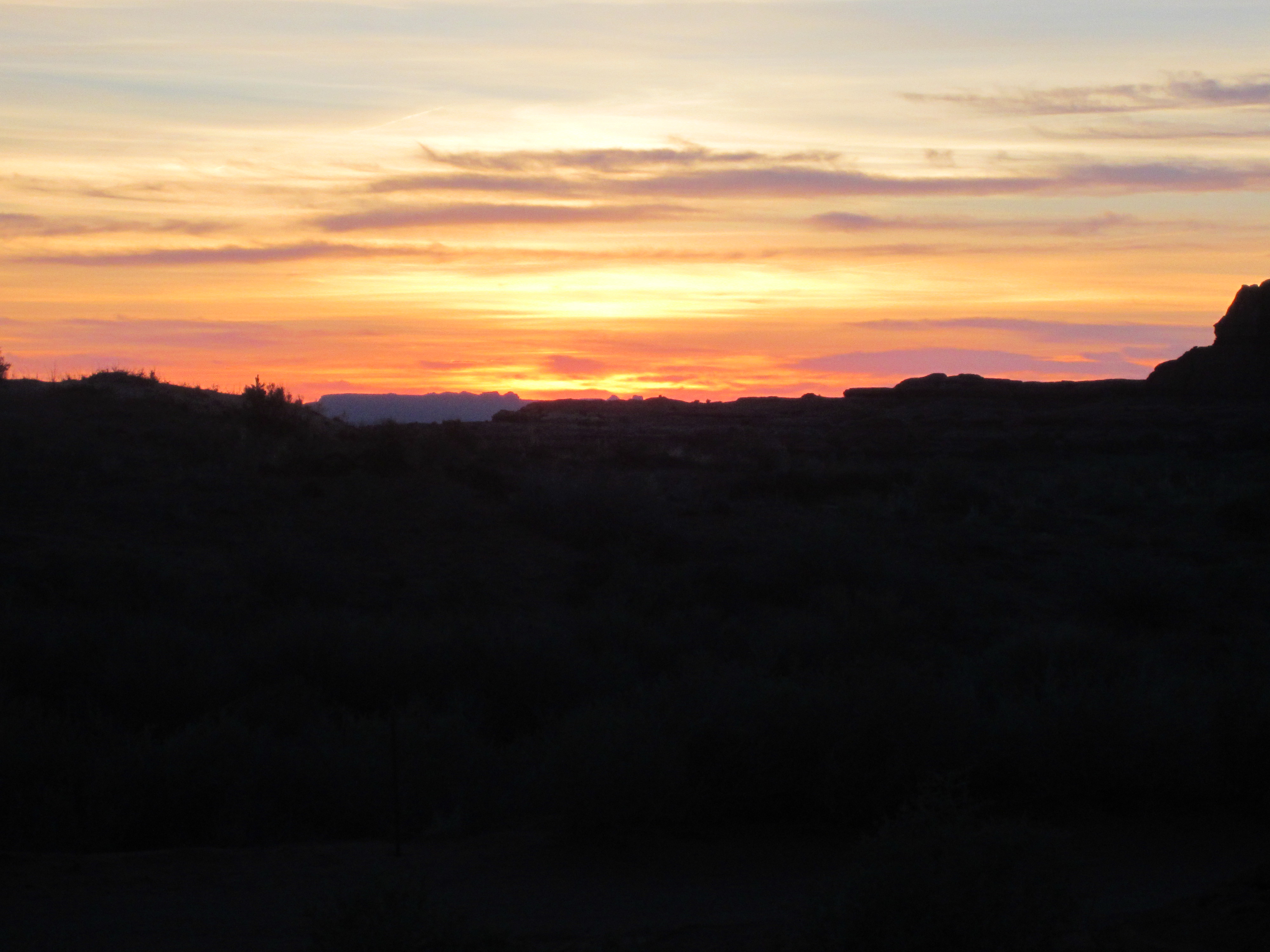
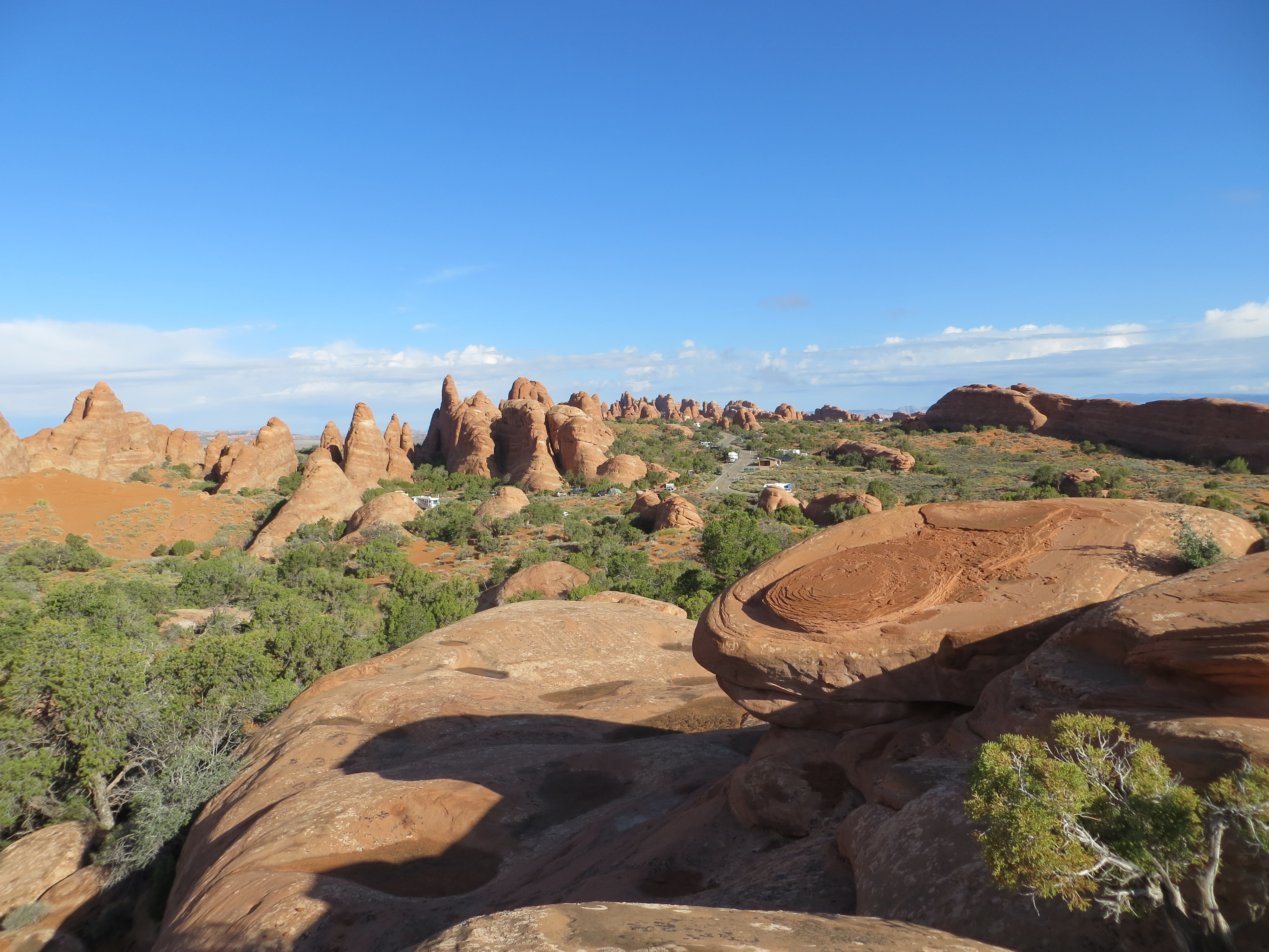
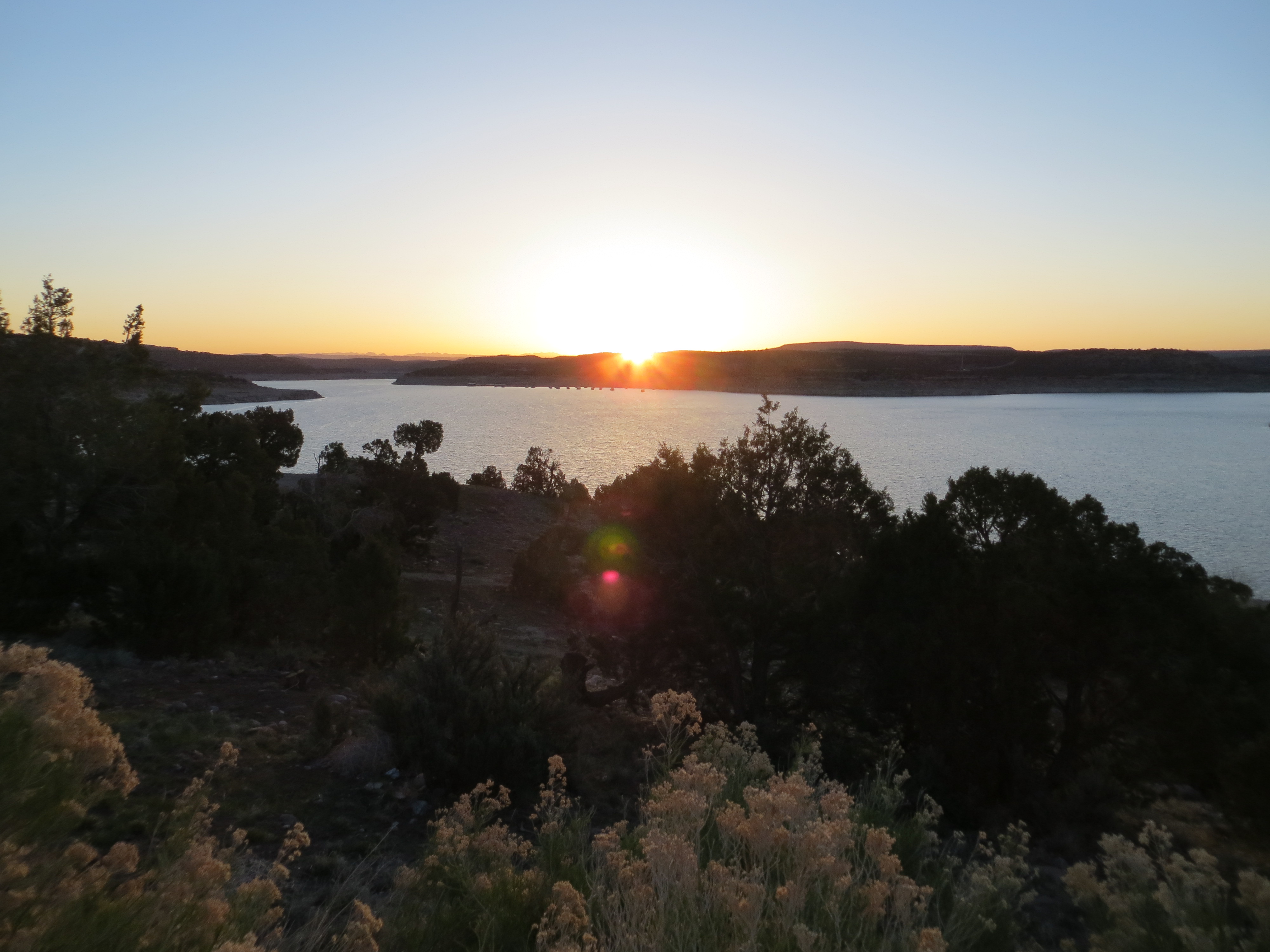
Glorious sunsets
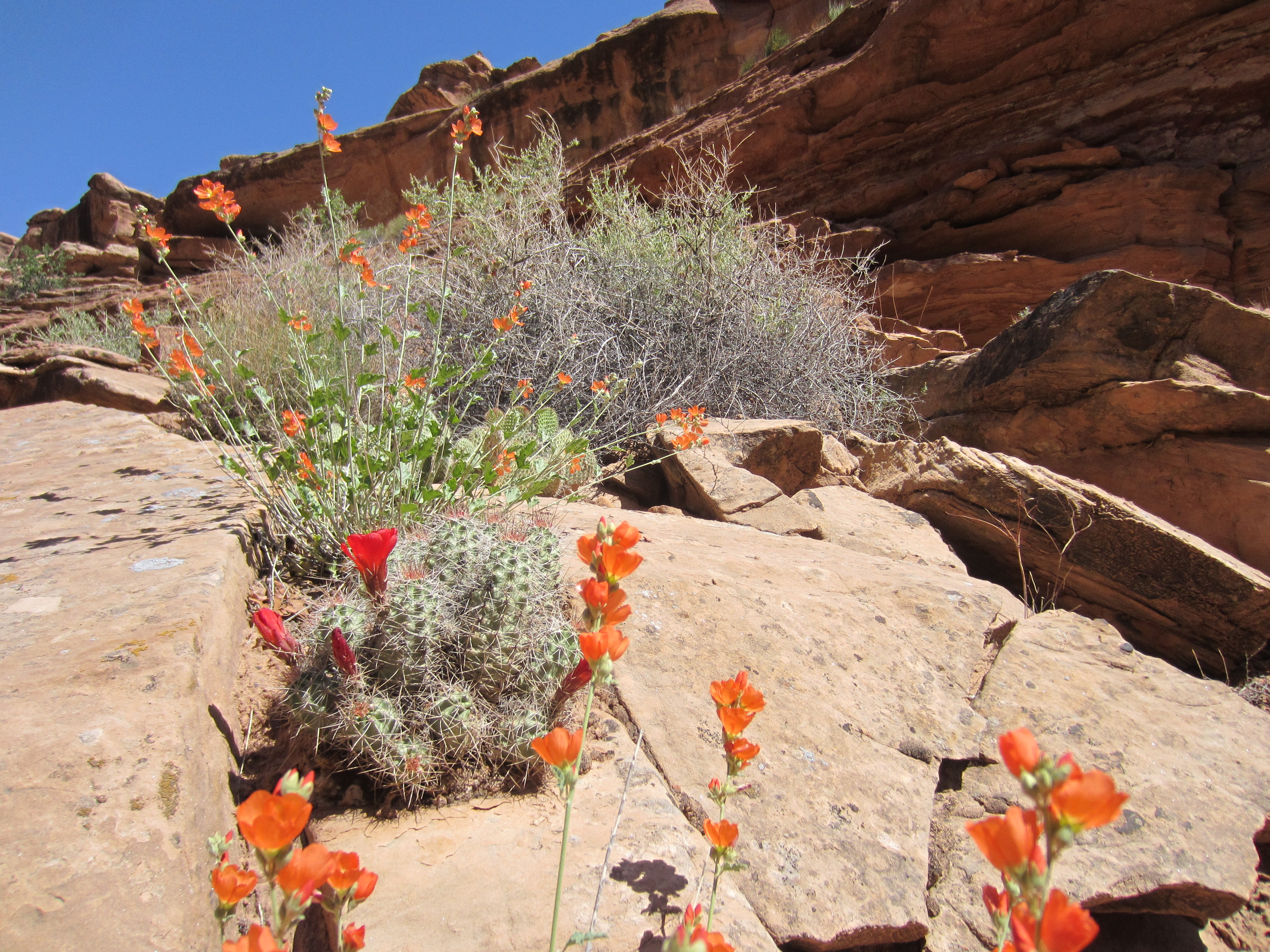
The temps soared into the 90’s while we were there, but it is amazing how much more tolerable it is without the humidity. We didn’t use the air conditioner, took naps in our chairs in the shade of the awning and enjoyed beautiful sunsets. It would cool off into the 50’s at night, such a huge temperature range.

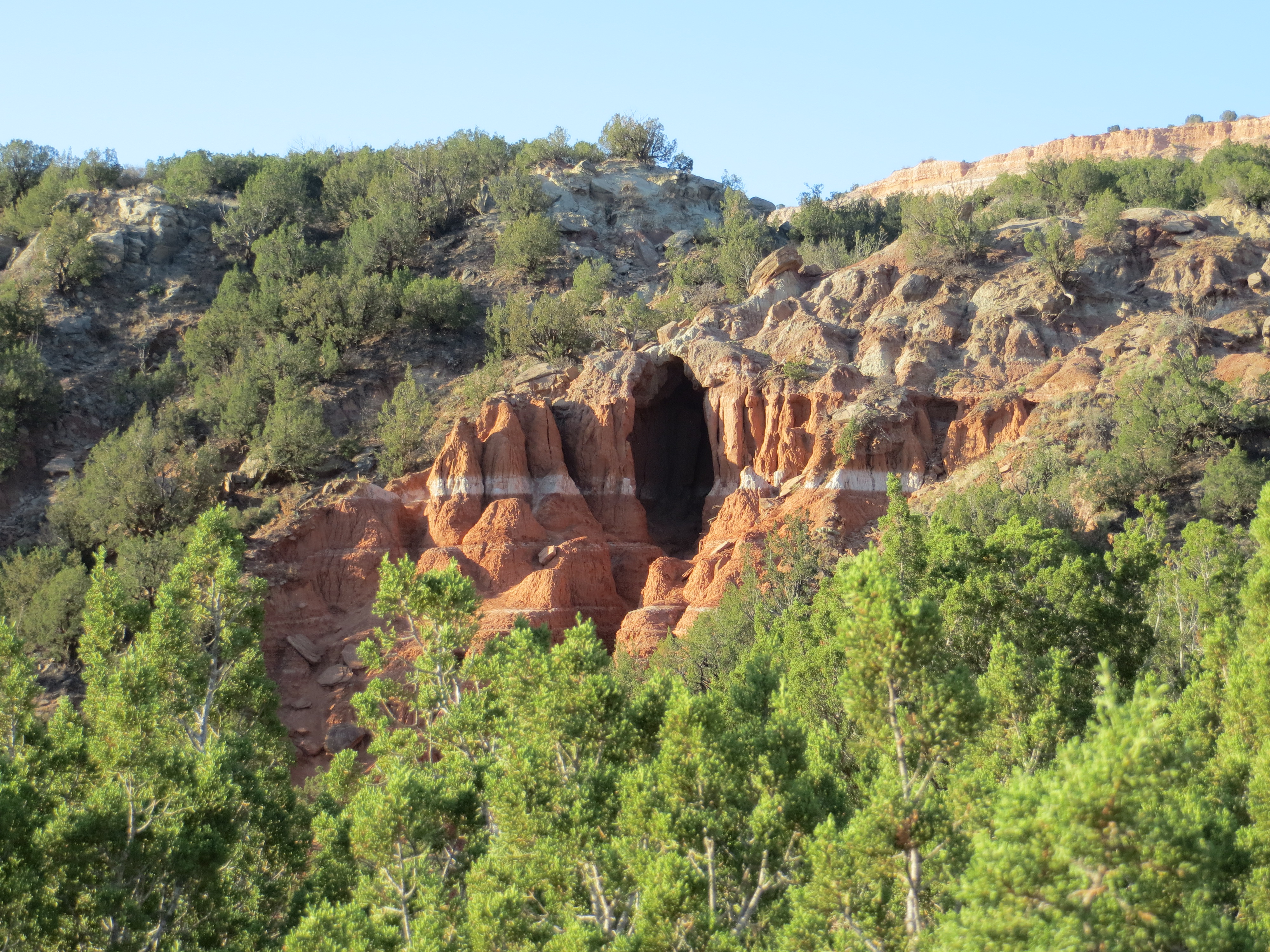
Cave Spring Cowboy Camp
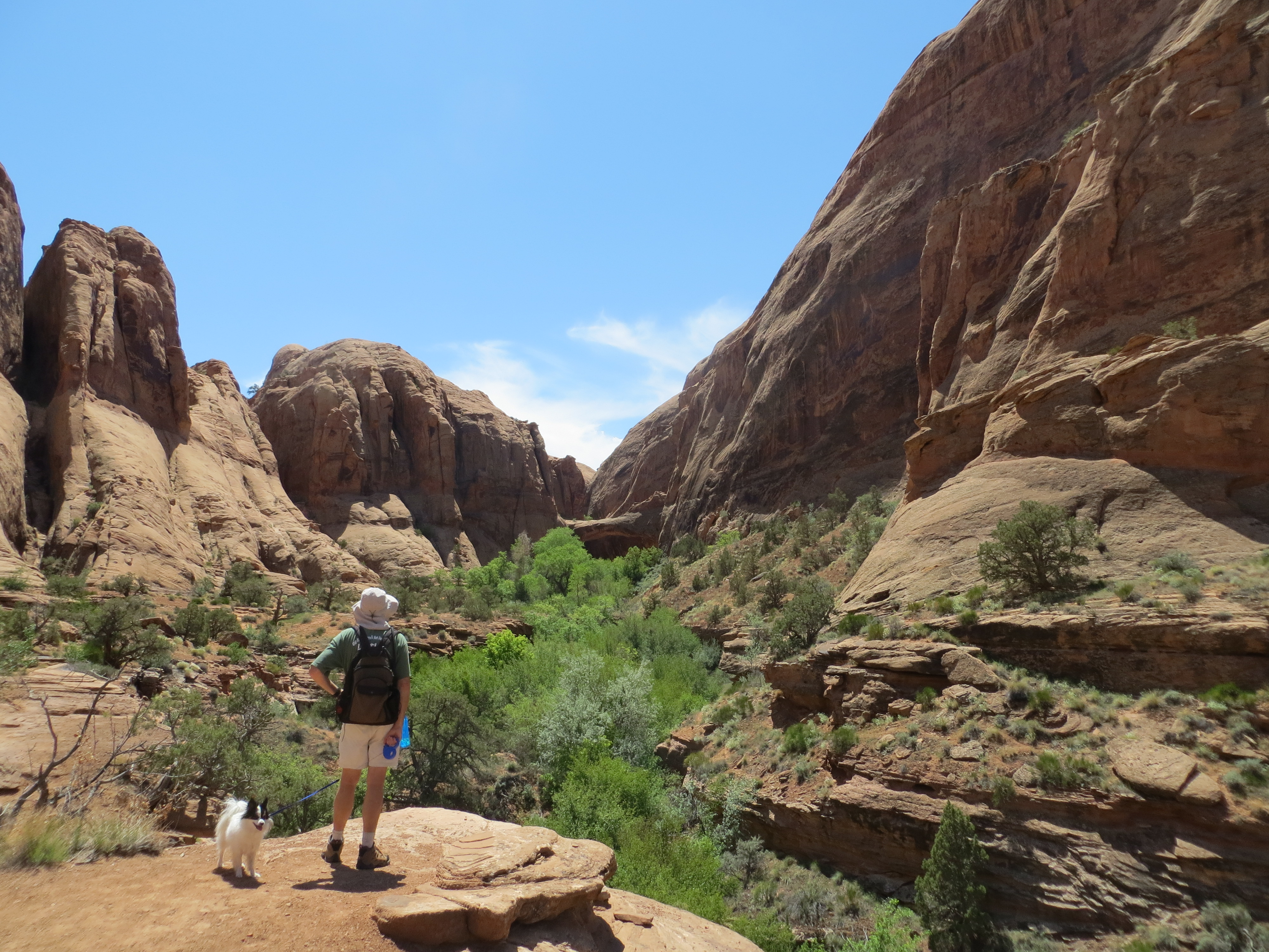
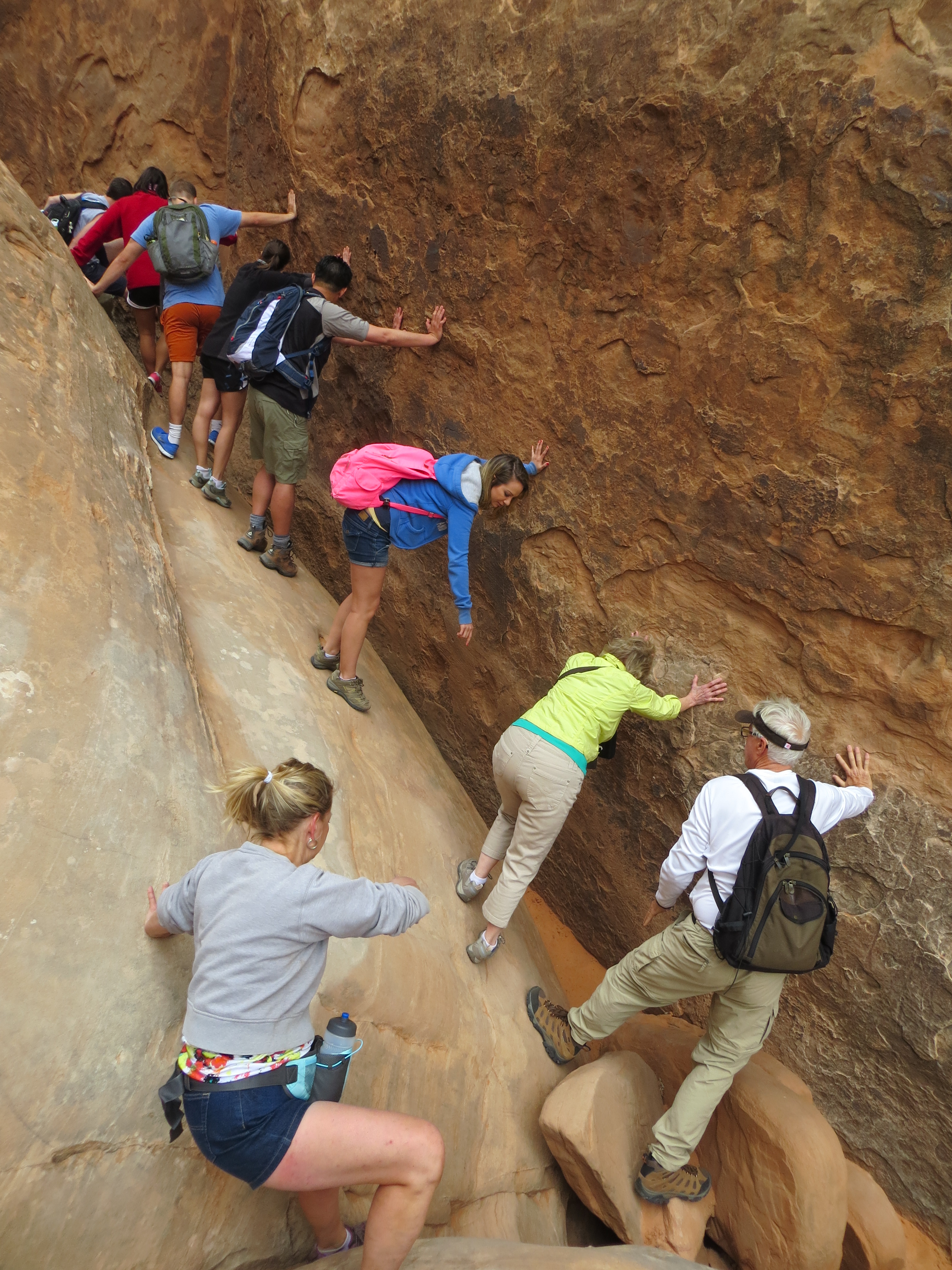
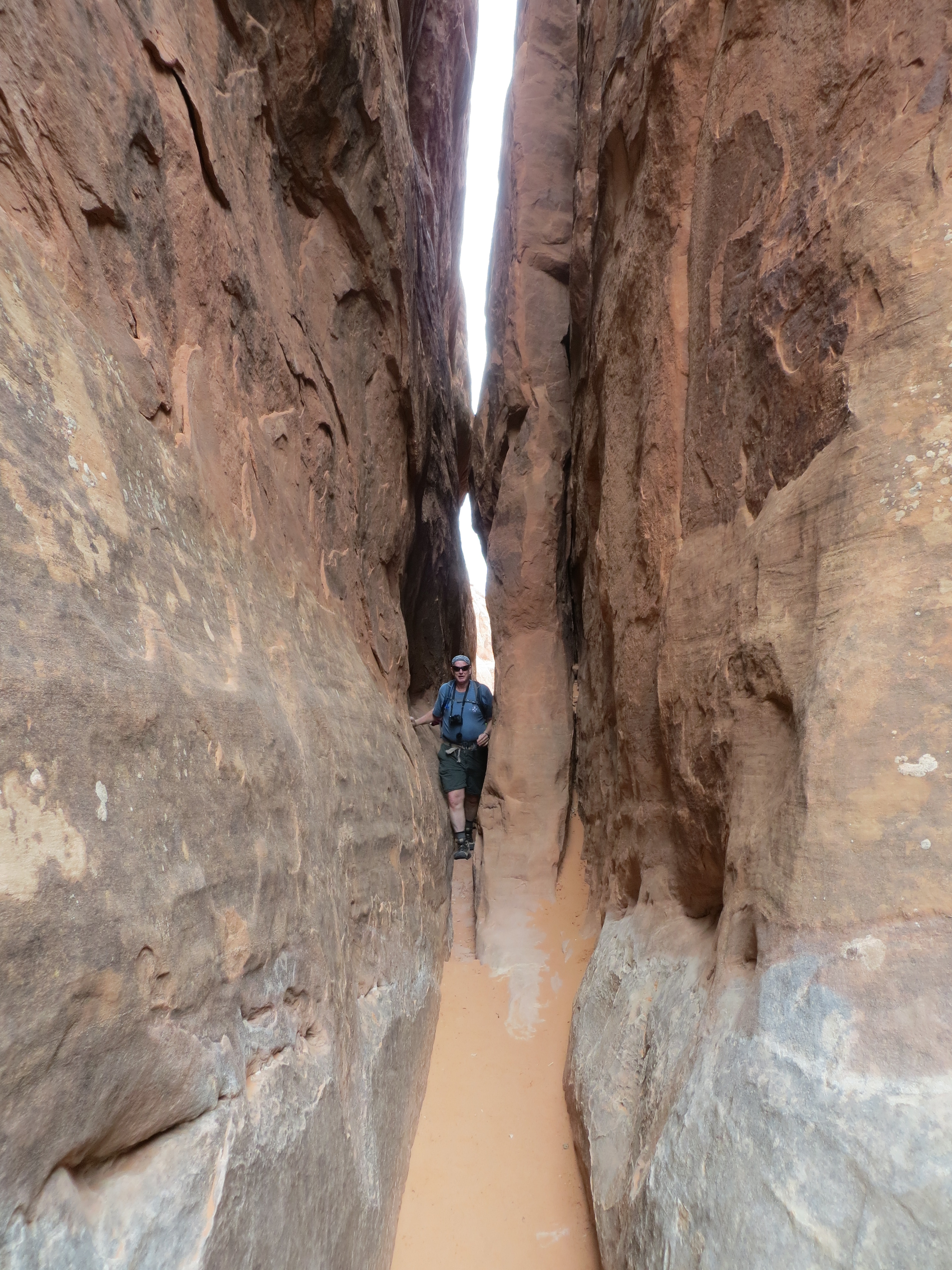
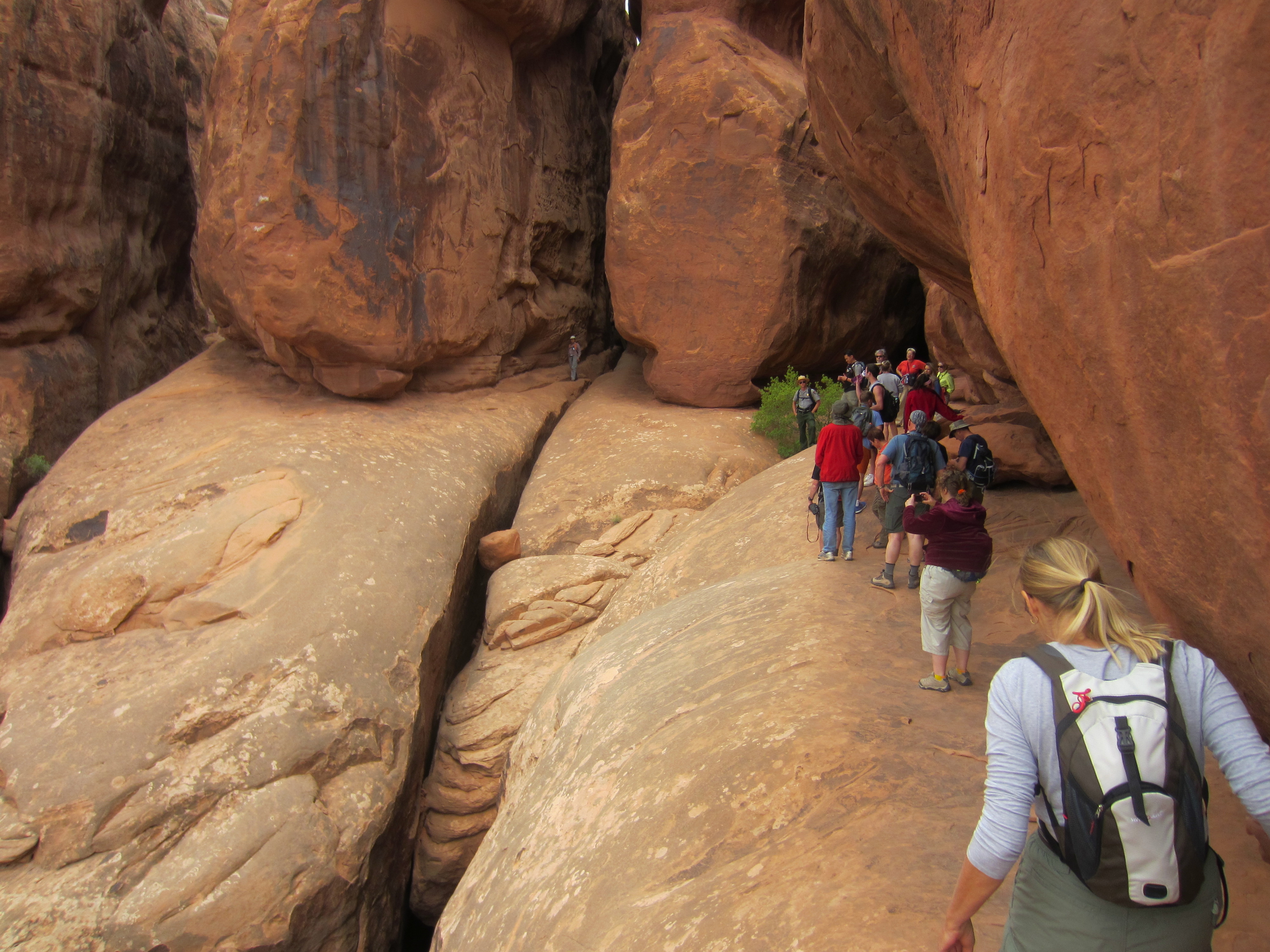
We took several small hikes in Canyonlands NP, finding some small Anasazi ruins, nice pictographs and the Cave Spring Cowboy Camp. This was a camp that was used by cowboys from the late 1800’s to the 1960’s before the land became a National Park.
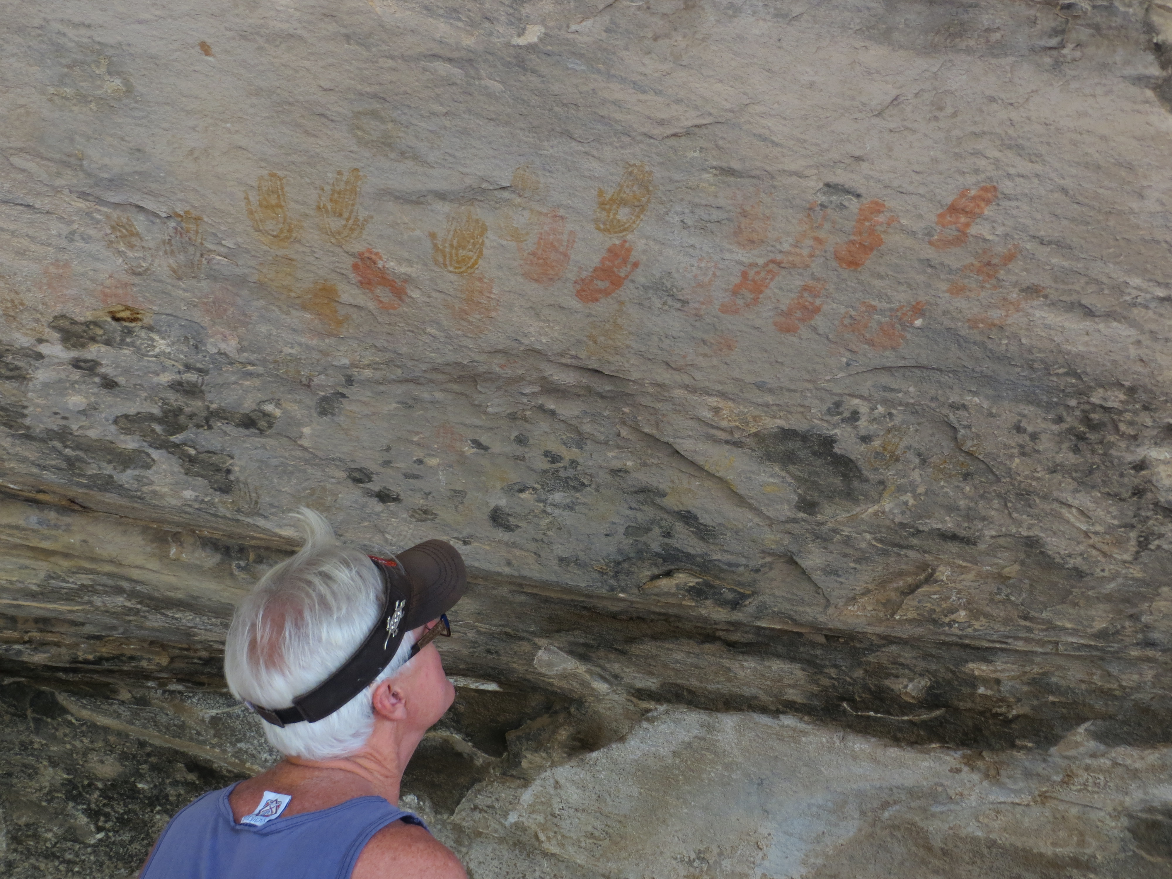
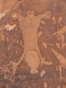
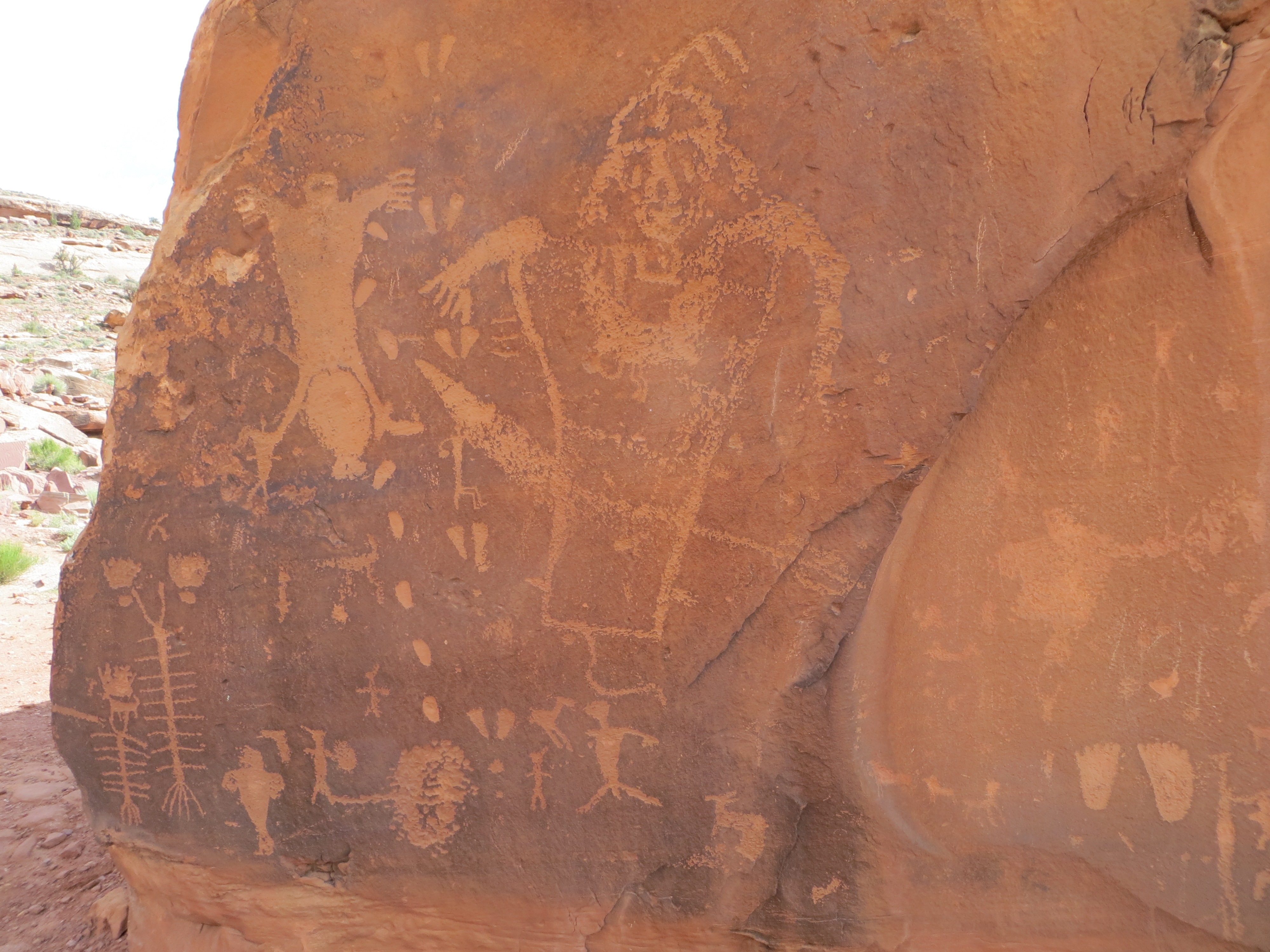
Handprint pictographs in Needles section of Canyonland National Park
It was situated underneath a long rock alcove and still contained all their daily living implements as well as a corral for their horses and cows.
This region of Southeast Utah is rich with the remnants of earlier civilizations, primarily the Anasazi, Fremont and later the Ute people. With a lot of prior research one can travel into the back canyons and discover ruins, petroglyphs and pictographs that few people have seen. When we decided to make this trip out to Utah, I began to research this region, intrigued by the photos but the lack of information on how to get to these places. People are very secretive about their exact location due to fear that they will be overrun with tourists and ruined. There is even talk that this region of Utah known as Grand Mesa and currently BLM land will one day become a National Park and be given the protection that it needs. Currently however, it is possible with a lot of hard work, prior research and local insider info if available, to find the ruins in their natural state. That is what we’re setting out to do. I think I was an archeologist in my prior life.

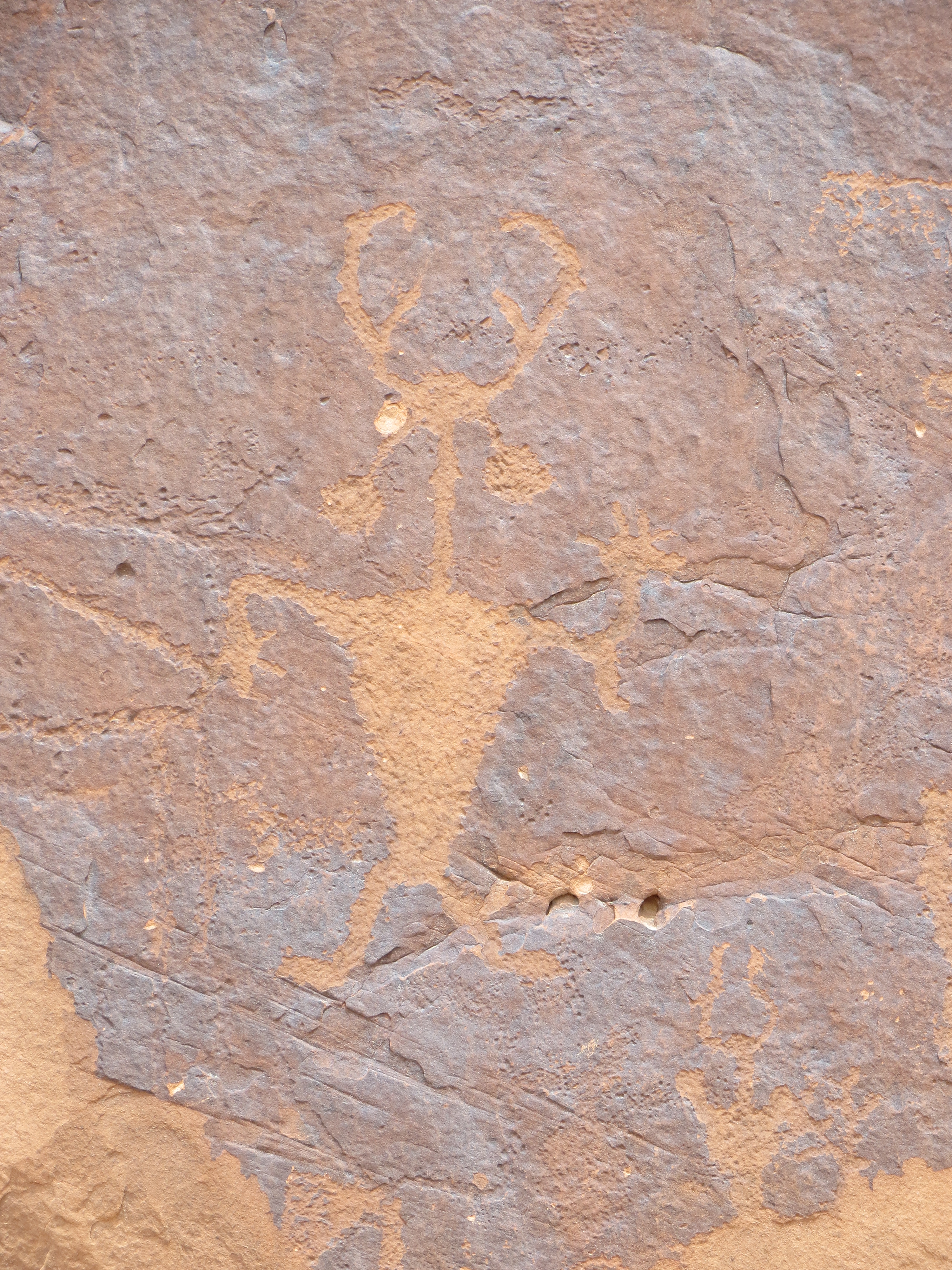
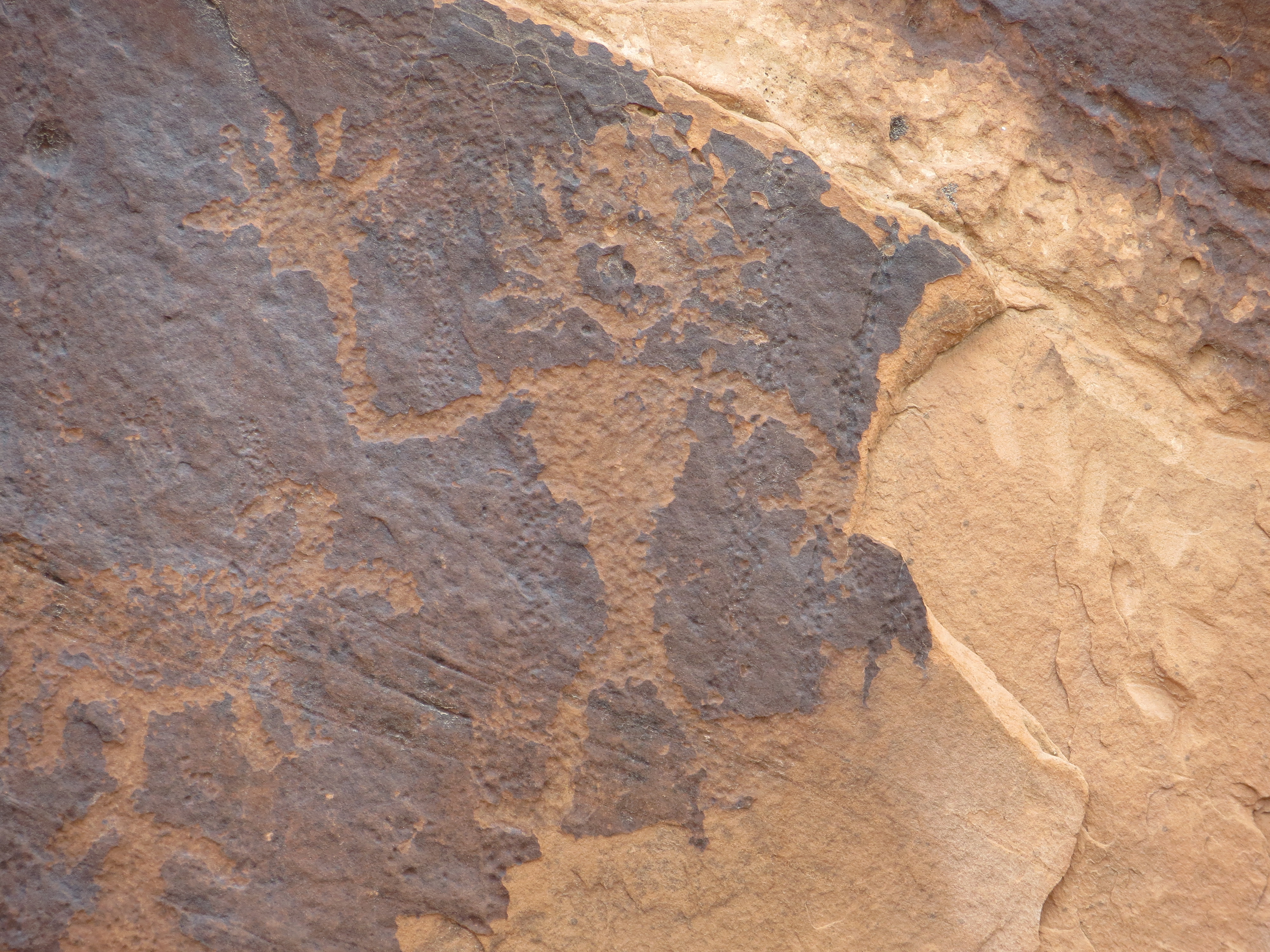
Five Faces Pictograph in Davis Canyon
I don’t remember how I stumbled upon 5 Faces Pictograph but when I realized it would be near where we were staying I knew I wanted to find it. I could find very little data on it, no GPS coordinates but knew it was in Davis Canyon. Armed with a great book I have and information given to us from a knowledgeable local, we set off in the Jeep. Wow, the road was rough… it made ‘Pucker Pass’ look like a beginners road. We made a wrong turn and ended up at a dead-end, went down another wrong road and then decided to start over at the beginning and try to figure out where we went wrong. We were in 4 wheel low, had to let air out of the tires and we went an extra 10 miles out of our way (at 5 miles an hour), but we found it!! There was the hiking trailhead to Davis Canyon. Now we had to find the actual pictographs. We wandered the appropriate side of the canyon, found footprints in the sand and felt like Indian trackers. Eventually we found a small trail and then the pictographs, which are of a style that is only found in the Canyonlands area of Utah. They are from the Anasazi people and are 700 -1000 years old but seem like they were done yesterday because no direct sunlight hits them. We were both thrilled to see them and with our sense of accomplishment in finding them. More ruin seeking will follow.

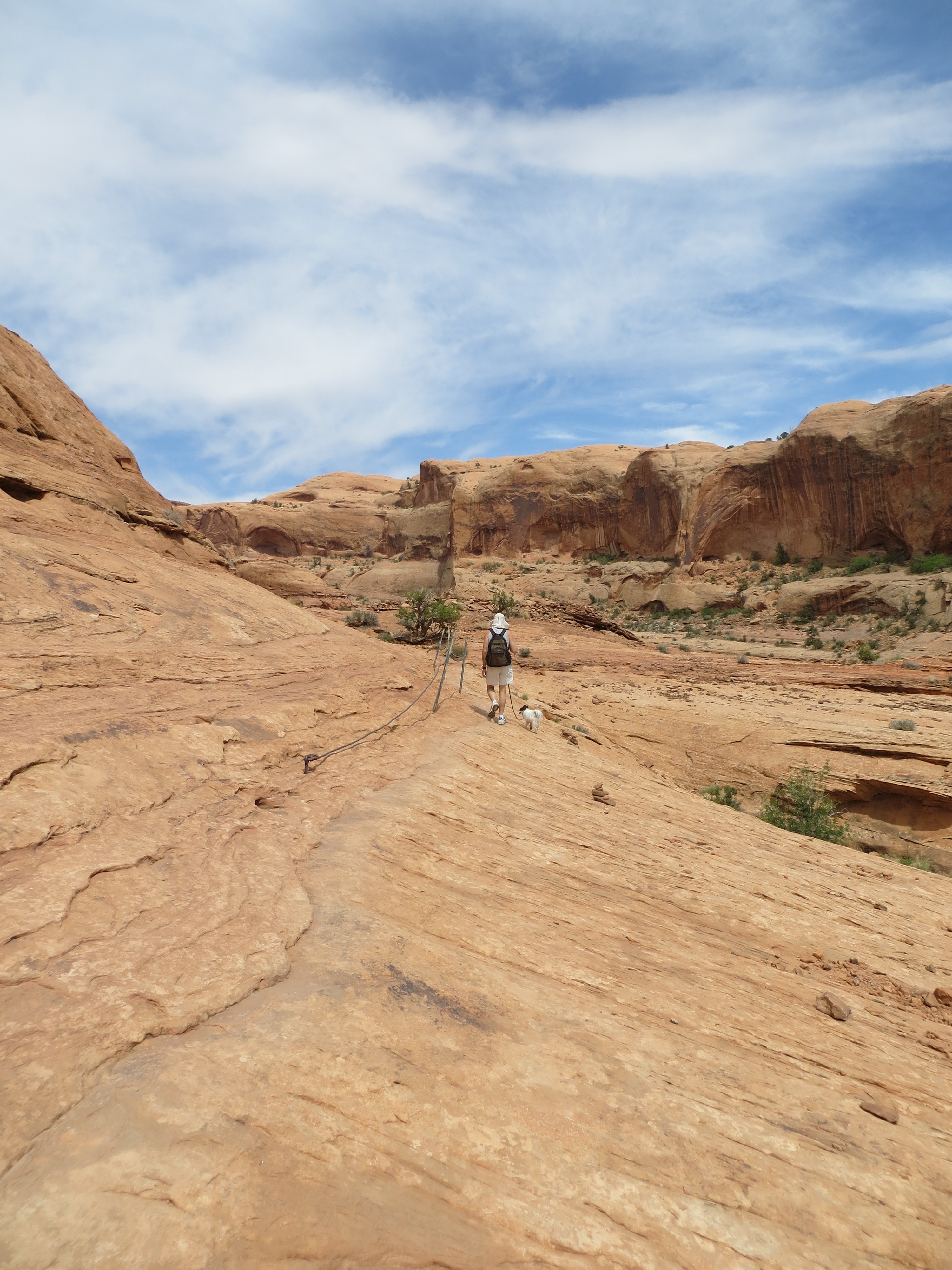
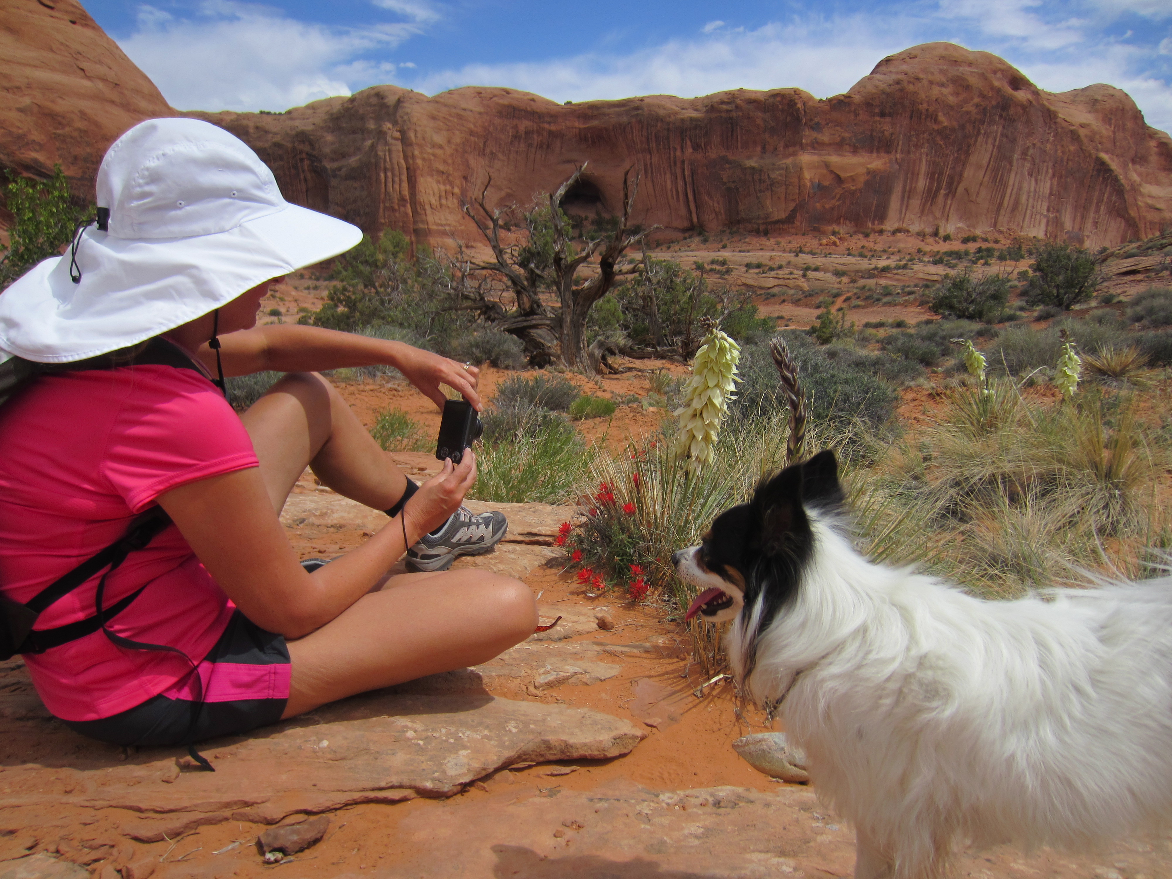
Laia sporting her new hiking shoes and seeking shade whenever she can

We saw this beautiful blue collared lizard along the way